Over the past few months, Bill and I have been busy working on a big project for Oklahoma Today magazine on camping in Oklahoma. It has motivated us to get out and explore some of our old favorite spots and discover some places that will become new favorites. The details of that adventure will have to wait on publication in the May/June issue. Now we are on to other projects, among them exploring some of Oklahoma’s historic wagon roads.
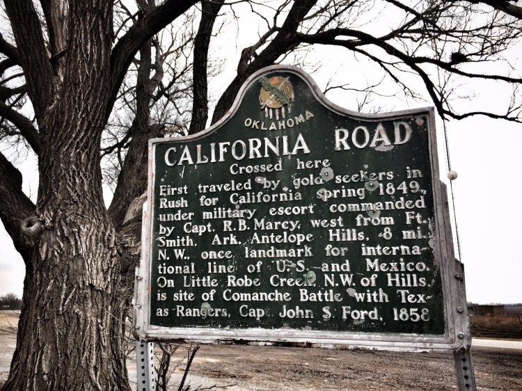
On a trip to western Oklahoma this week for the camping project, we attempted to trace some of the California Road across Oklahoma. This wagon trail became an important thoroughfare when news of the discovery of gold in California in 1849 greatly increased the number of westward travelers on northern routes (can it be they had traffic jams?) and a southern trail was sought in order to offload some of the volume.
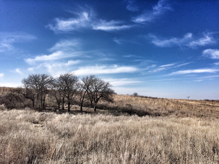
Congress ordered identification of a suitable route south of the Canadian River from Fort Smith to Santa Fe and then on to California. This task was given to Captain Randolph B. Marcy, who left Fort Smith with his command on April 5, 1849 to establish such a road and to escort a large party of California gold seekers on the way west. For most of its length across Oklahoma, the road followed the south bank of the Canadian River. Records indicate that thousands of emigrants used the route and after the Civil War it was a main traveled road west in Indian Territory for many years.
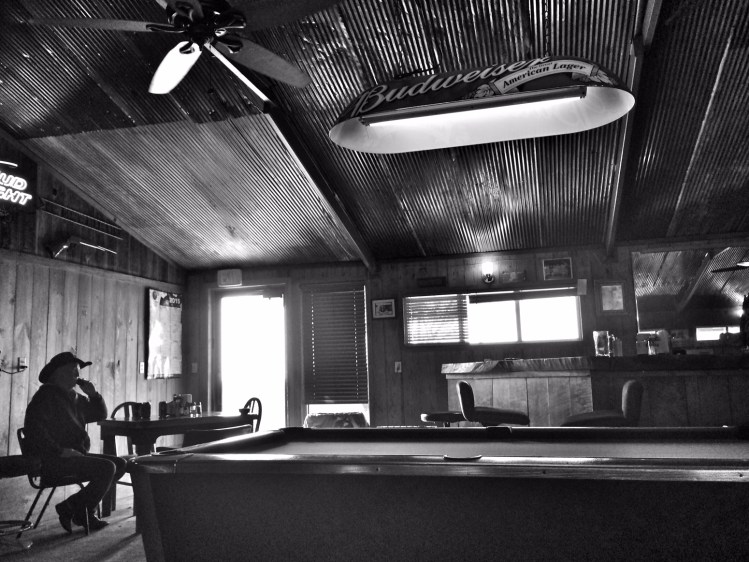
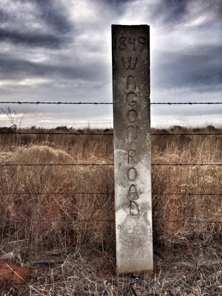
What remains of the road, if anything? We used a map from a 1960 Oklahoma Historical Society publication, “Rock Mary and The California Road,” to guide our attempts to trace its path out west, and stumbled upon two historical markers. Later, after a stop at the Packsaddle Bar for lunch (They really should call it a saloon to describe the way it feels; it’s the only place to eat for miles and worth eating there even if it weren’t) we noticed that the highway map we were using actually indicated the location of a marker north of the town of Leedey and we found that one on our return trip. There, we also saw a new marker with the 2015 insignia of Art Peters, whom I learned upon our return home is an expert on the topic and is willing to share what he has learned and show interested folks some of the remnants of the old road. Peters is the curator of the Hinton Historical Museum and we are going out to Hinton to meet with him in February.
I probably won’t wait for that to pay a visit to Red Rock Canyon State Park near Hinton, however. There, I also just learned, is a nature trail that follows the path of the California Road and wagon ruts still remain. Another outing is soon to occur.
Sources:
Robert H. Dott, “Lieutenant Simpson’s California Road Across Oklahoma,” The Chronicles of Oklahoma 38 (Summer 1960). http://digital.library.okstate.edu/Chronicles/v038/v038p154.pdf
Oklahoma Encyclopedia Entry on Rock Mary: http://www.okhistory.org/publications/enc/entry.php?entry=RO012
