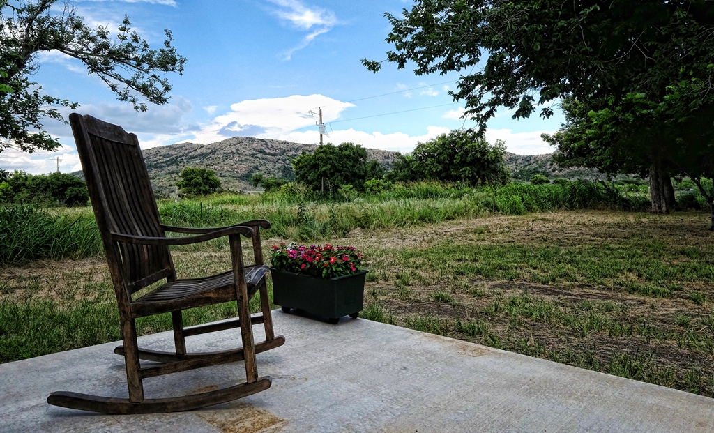
I had a nice view of the Wichitas from the front porch of Krehbielhaus when I visited earlier this week. This location is a lovely two-bedroom house and a wonderful getaway spot on the northwestern edge of the Wichita Mountains in southwestern Oklahoma. It’s owned and has been meticulously restored by our friends Chris and Claire Johnson. A great base camp for hiking in the Wichitas! Book it at: https://www.airbnb.com/rooms/5929246
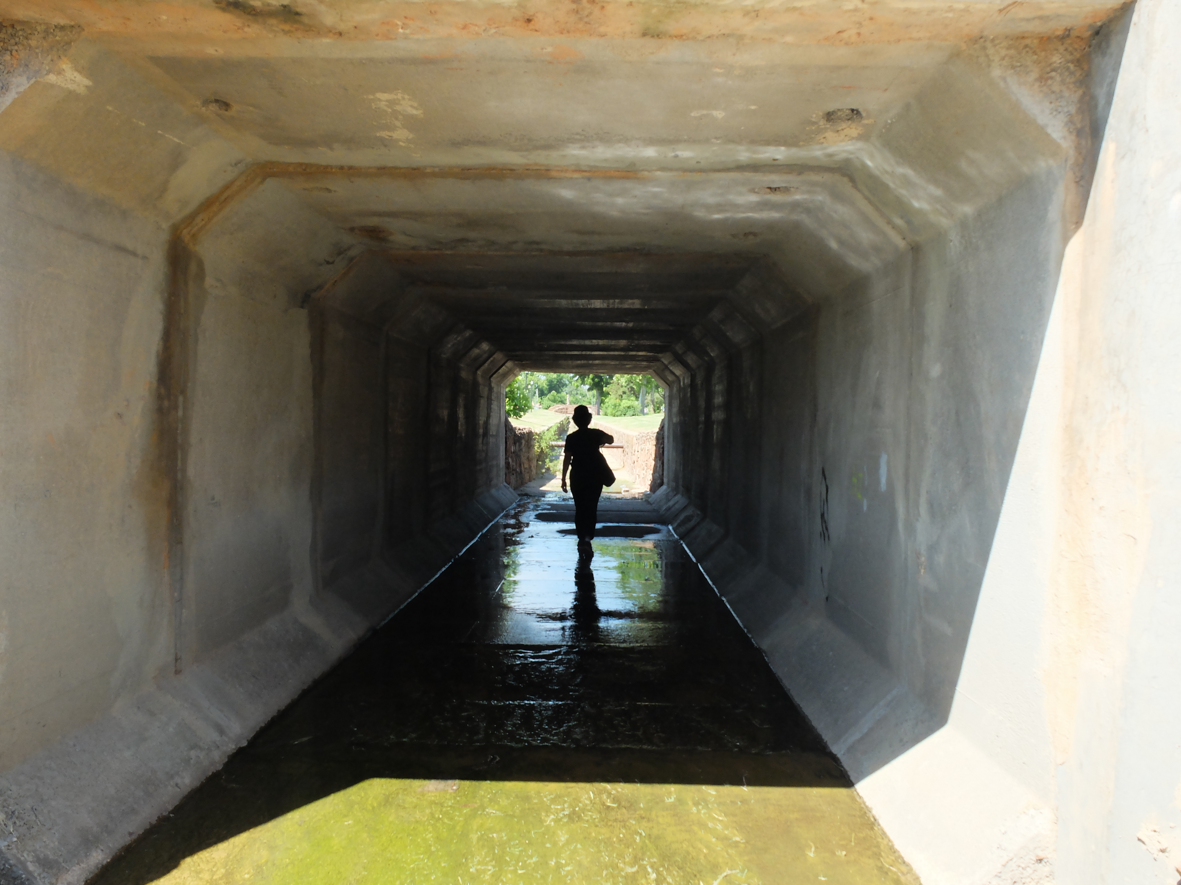
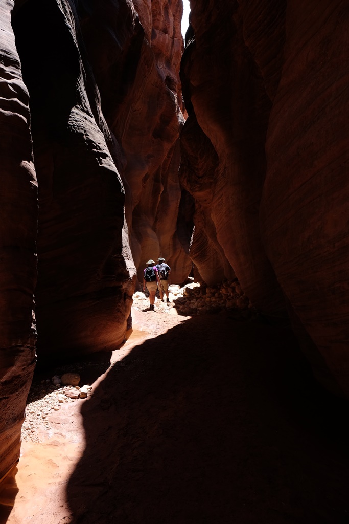
Debby hikes in the stone-lined channel of Imhoff Creek
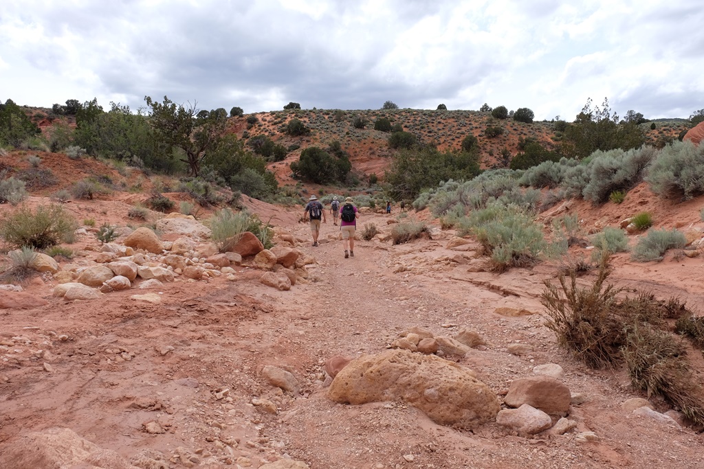
Debby Kaspari (https://drawingthemotmot.wordpress.com/) and I are off on another adventure! Our first collaboration resulted in “In History’s Footsteps,” (Nuttall) published in the March/April issue of Oklahoma Today magazine. In “Follow the Rivers” we are focused on the blessings of Oklahoma’s natural rivers, in stark contrast to concretized streams like the Los Angeles River. Illuminating the reasons we should appreciate these water resources is part of our goal.
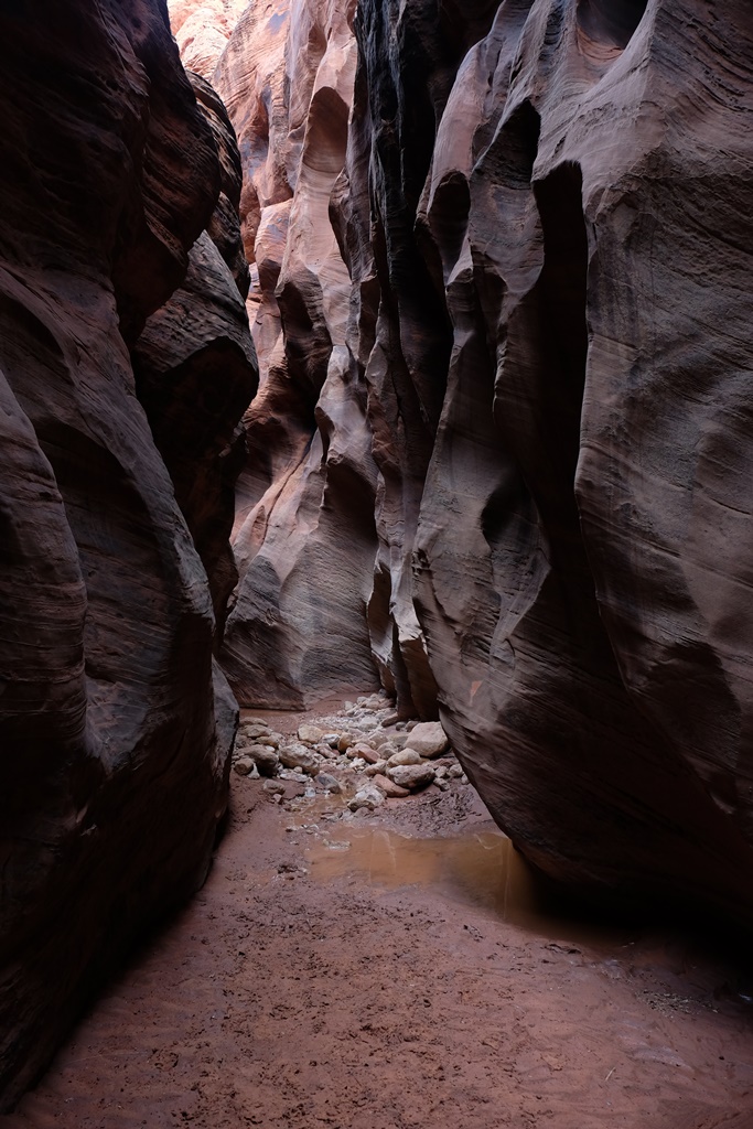
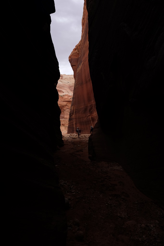
Last weekend, we decided to trace one of Norman’s creeks from its source to its confluence with the Canadian River. It was an eight-mile adventure (involving lots of detours and backtracking) on foot, starting just northeast of Andrews Park, where we found Imhoff Creek’s “headwaters” in the back yard of a residence surrounded by riparian vegetation (cottonwoods, willows and catalpa, oh my). The trickle of water soon became a concrete-bottomed, stone-lined drainage ditch of WPA vintage and ran through Andrews Park, skirted downtown Norman, flowed through Lions Park, and spread out into a wide concrete drainage south of Boyd. We were able to walk either along or in the channel of the creek until we were confronted with creekside fences and dense growth in the stream south of Lindsey. We turned back, detoured to Berry Road, and walked to Imhoff Road, then went through a neighborhood and along Highway 9 to rejoin the course of the creek. It was an adventure going through a large culvert under Highway 9 and scrambling back up the embankment to walk along the shoulder of the highway to The Trails golf course. There we were able to follow the creek south as it bordered the golf course and, eventually, we made our way to the river.
It was fascinating to watch nature determinedly push through the stone and concrete as we moved south along the course of the creek. Where there was any water pooled, we began to see tiny fish. By the time we reached the Imhoff Road bridge over the creek, it was quite wild, although littered with the flotsam of human existence in the form of litter. What might be the benefits of returning this creek to a more natural state? We will be considering that question as we get deeper into “Follow the Rivers.”
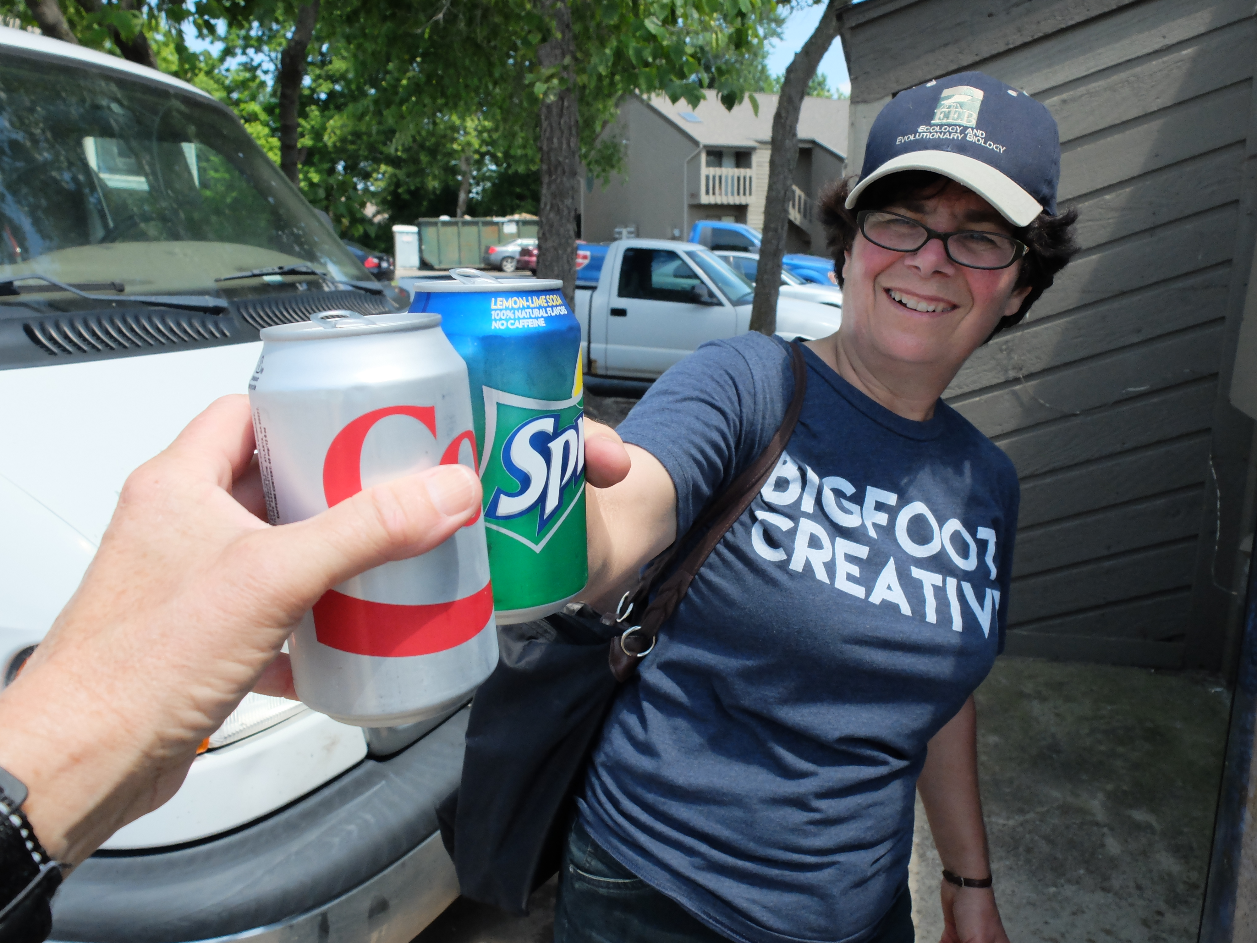
Debby in a culvert in Andrews ParkWe took a break for provisions at The Earth deli.South of Lindsey we found this area where a permeable surface was allowing habitat to emerge. Debby was joyous!We stumbled upon the civilized luxury of a functioning Coke machine and enjoyed ice cold beverages near the Trails.A close-up view of a Swallowtail was one of the benefits of our journey.
I just completed the second of three photo shoots at Oklahoma’s Lake Murray State Park, the first state park built in Oklahoma and still the largest. The State of Oklahoma is building a new lodge there, and I am honored that my images will provide the artwork for the facility. I photographed the scenery in the park in spring and summery, and will return in the fall for my third and final shoot. This shot was taken at sunrise on a pier east of the old lodge. When I visited in the spring, the water was 8-10 feet below the pier’s surface and now it is nearly even with the wooden deck. Spring rains have blessed this lake!
I’m pleased to have several publications out or pending right now, including Sequoyah Sunsets, an article on Sequoyah State Lodge in Oklahoma Today’s Indians and Cowboys Issue (July/August 2015); and Calculating Adventure, a story of serendipity in the American West in Issue 9 of OutdoorX4. In the coming months, look for The Lost Girls Ride Again in TrailGroove and a piece on Devil’s Eyebrow Natural Area in Arkansas Living. See articles and excerpts on my Publications page: https://susandragoo.com/adventure-publications/
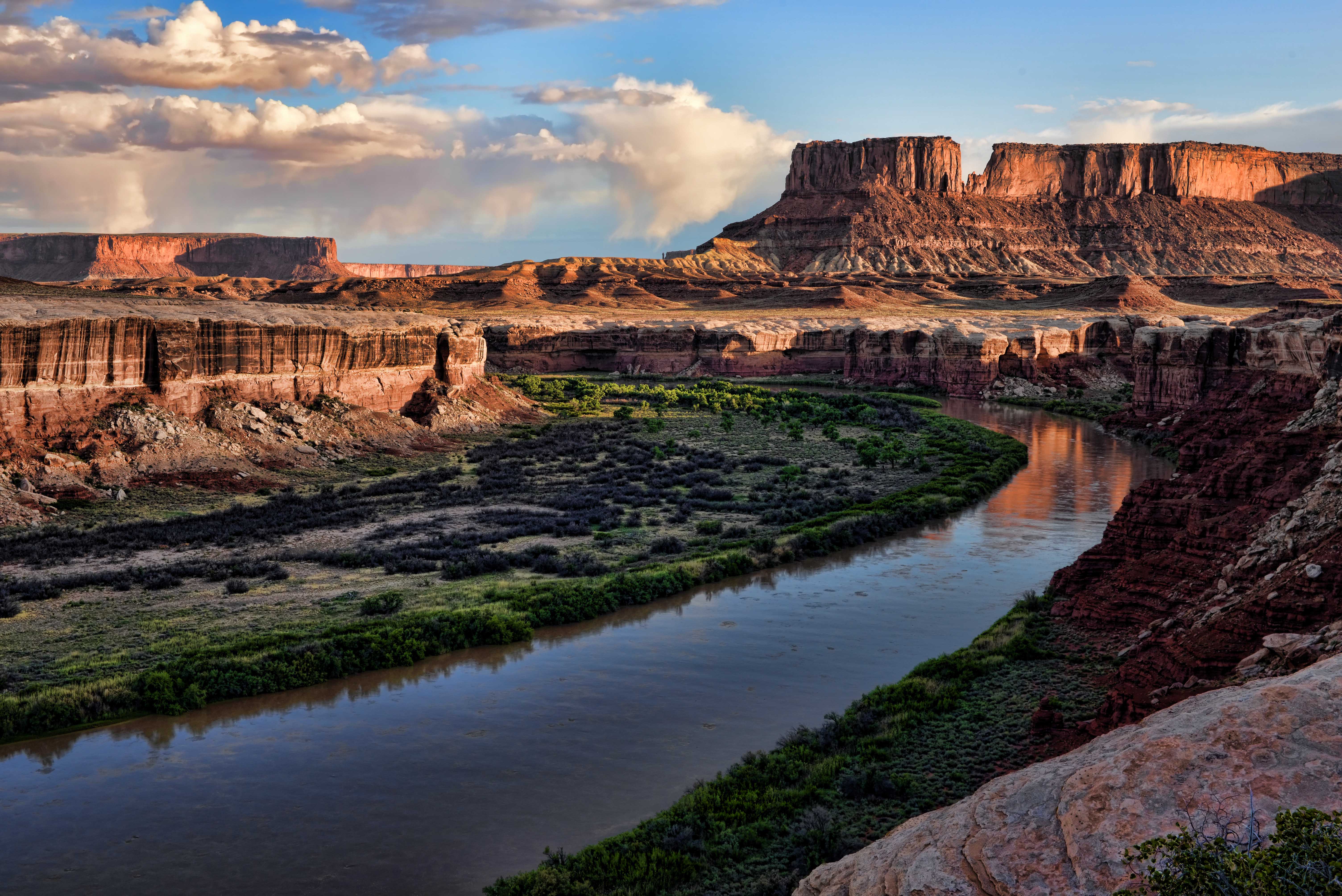
Grand in scale, a feast for the senses, a place of (at times) terrifying beauty, Canyonlands National Park (http://www.nps.gov/cany/) is one of Utah’s many natural wonders. It preserves nearly 350,000 acres of towering spires, deep canyons and powerful rivers in the high desert of southeast Utah. One of its highlights is the White Rim Road, a 100-mile loop through the Island in the Sky District. (http://www.nps.gov/cany/planyourvisit/whiterimroad.htm)
Parts of White Rim are challenging and it’s all spectacular, so we wanted Chris and Laura Moxley — in their Jeep Rubicon — to experience it with us. After stopping in Moab at Gearheads for supplies, we entered the national park via Gemini Bridges Road. We did the trail in a counter clockwise direction, starting with the switchbacks of Shafer Trail and the sight of the Colorado River running along our path to the east. Along the way, Laura conquered Murphy’s Hogback and Chris drove over Hardscrabble Hill, two of the most technical sections of the trail. We camped at Candlestick Campground, where we shared a large campsite with a view of the Green River very near the canyon rim with an interesting group from Toronto: Jackie, Dennis and Ray. Jackie joined us for a glass of wine after dinner, and Dennis strolled with Bill and I to the canyon rim for some sunrise photography the next morning. Before we left camp, we were paid a surprise visit by a couple of young park rangers, checking on permits. Wouldn’t want to run afoul of these fit fellows packing large sidearms and handcuffs! We finished the trail about noon and enjoyed a farewell lunch with Chris and Laura at the Moab Brewery before they headed back to Oklahoma. Thanks for joining us at Overland Expo and for the adventures beyond, Chris and Laura, we had a blast!
Next, Bill and I go on to tackle the Utah Backcountry Discovery Route north of Moab. Stay tuned!
The Moxleys and the Dragoos during a stop on the White Rim Road
Bill and Laura take a look over the precipice at Gemini BridgesSunrise, Candlestick CampgroundOur campsite at Candlestick CampgroundSunrise on the Green RiverChris and Laura about to finish the White Rim Road in their Jeep Rubicon
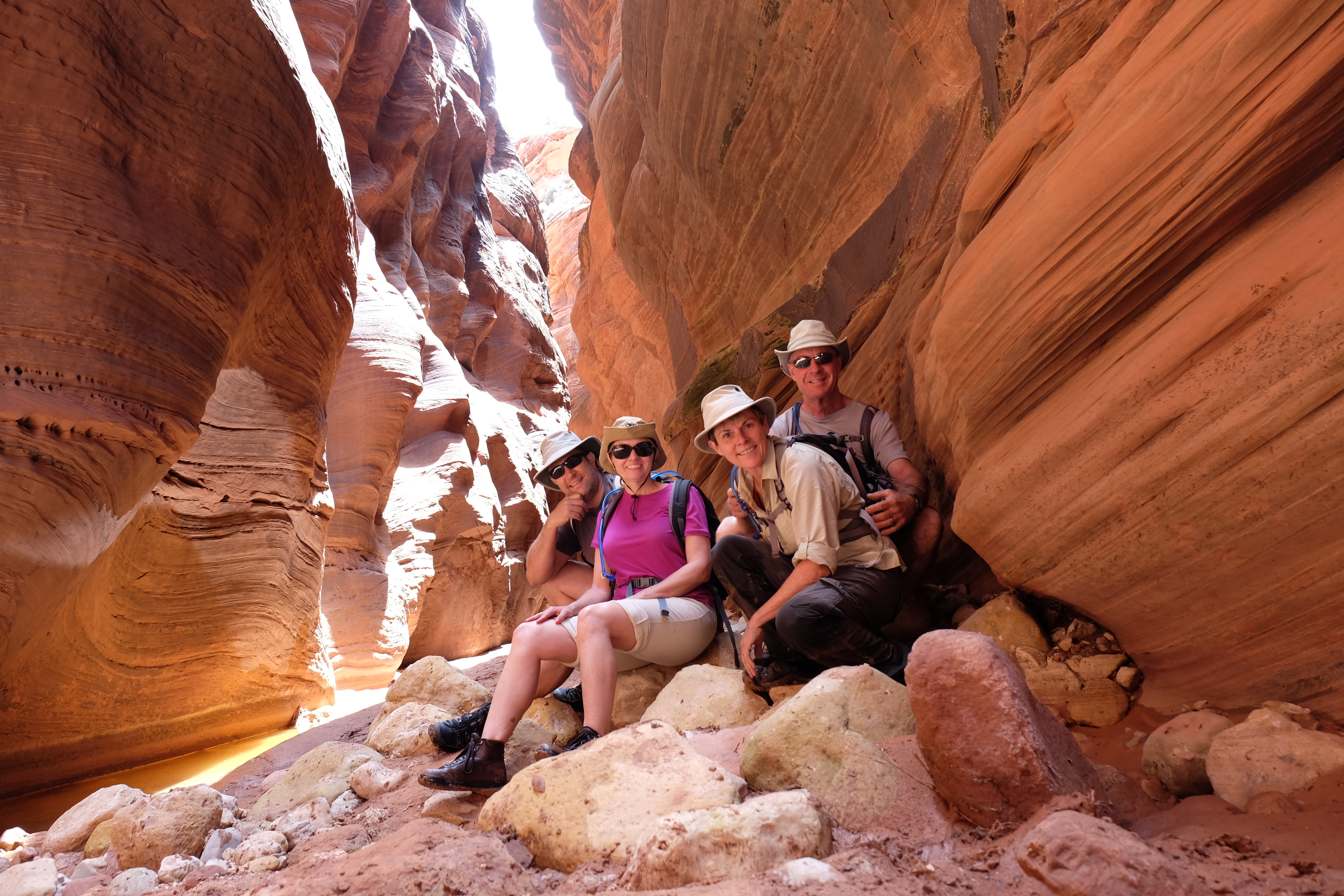
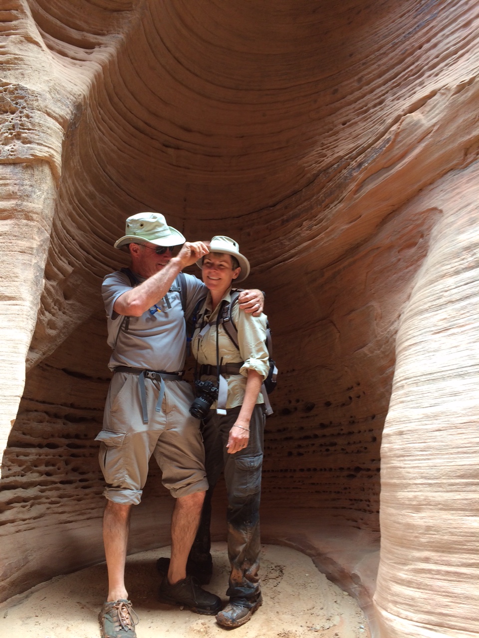
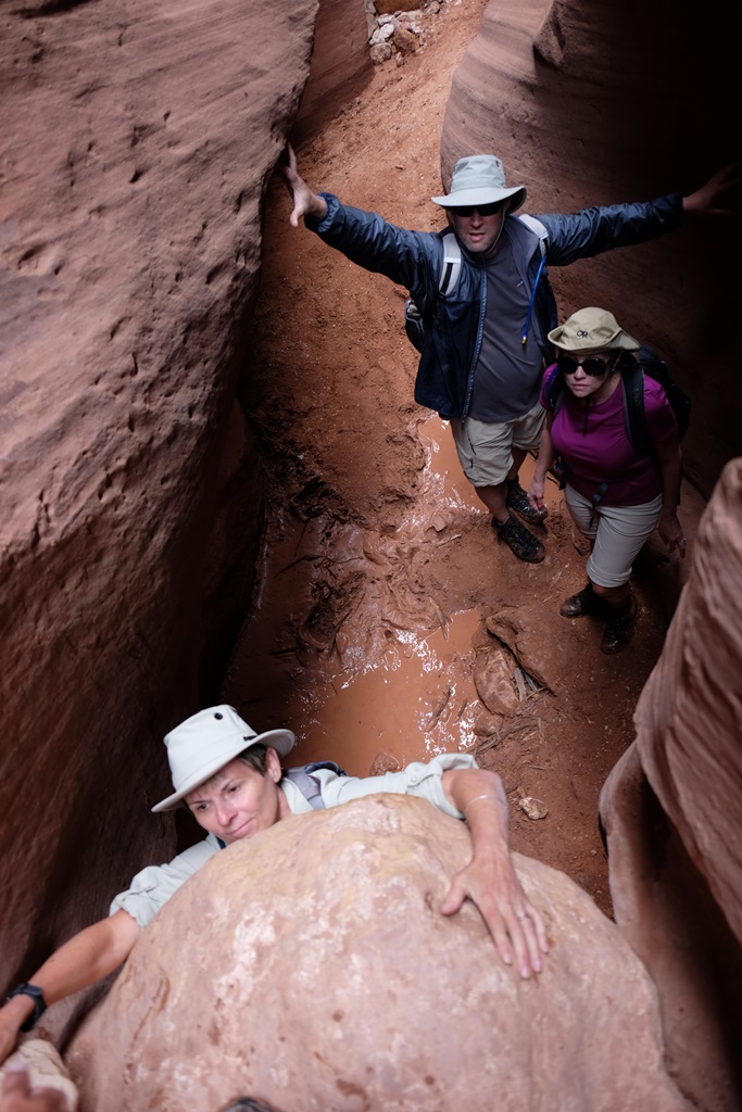
We take a break for a photo after stopping to eat lunch mid-way through our exploration of Buckskin Gulch.
A few years ago, Bill and I “discovered” (for ourselves, that is) Buckskin Gulch, the longest slot canyon in the southwest, or the world, or some such thing, depending on your source. It’s just north of the Arizona/Utah border in the Vermilion Cliffs National Monument (http://www.blm.gov/az/st/en/prog/blm_special_areas/natmon/vermilion.html) and is both spectacular and easy to access. Exploring the canyon thrilled me and I longed to return. In fact, OutdoorX4 Magazine will be publishing my story, “Calculating Adventure,” about our first visit there in an upcoming issue (OutdoorX4.com)
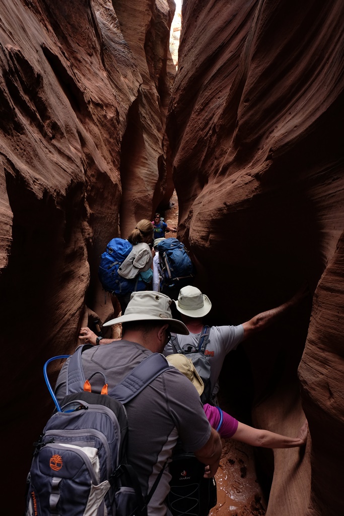
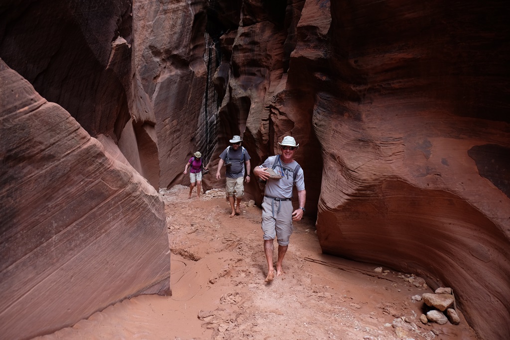
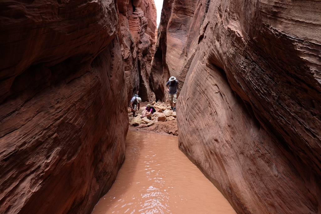
Traveling north last month from the Overland Expo in Flagstaff, Arizona with Bill, and our friends Chris and Laura Moxley, we had camped at Coyote Loco in the Kaibab National Forest and hiked in the Grand Canyon. The night before our Buckskin Gulch hike, we camped in Vermilion Cliffs, not far from the Wire Pass Trailhead for the Gulch. Our first surprise on the morning of the hike was the number of people in the canyon. I had remembered the 1.7 mile hike from the trailhead through Wire Pass Canyon to Buckskin Gulch as an easy walk with only a few scrambles over boulders. But things had changed a bit over the past couple of years and the floor of the canyon seemed lower and was much wetter. Hikers were struggling to get over the drops into the canyon and reluctant to get their feet wet. Several spots in the canyon became jammed with people, several of whom ultimately turned back. We forged ahead and eventually made it through Wire Pass and to the alcove near the confluence with Buckskin Gulch.
The rains had changed the Gulch as well, and we faced numerous deep, muddy puddles. Ultimately, the only thing to do was to wade in, boots and all, and so we did. It was slow going but fun. When we decided we had gone far enough (and thunder was beginning to rumble above us), we enjoyed a picnic lunch and turned back. It definitely wasn’t the same experience I had before at Buckskin Gulch — much more difficult — but I am so glad we were able to introduce our friends to one of my favorite places!
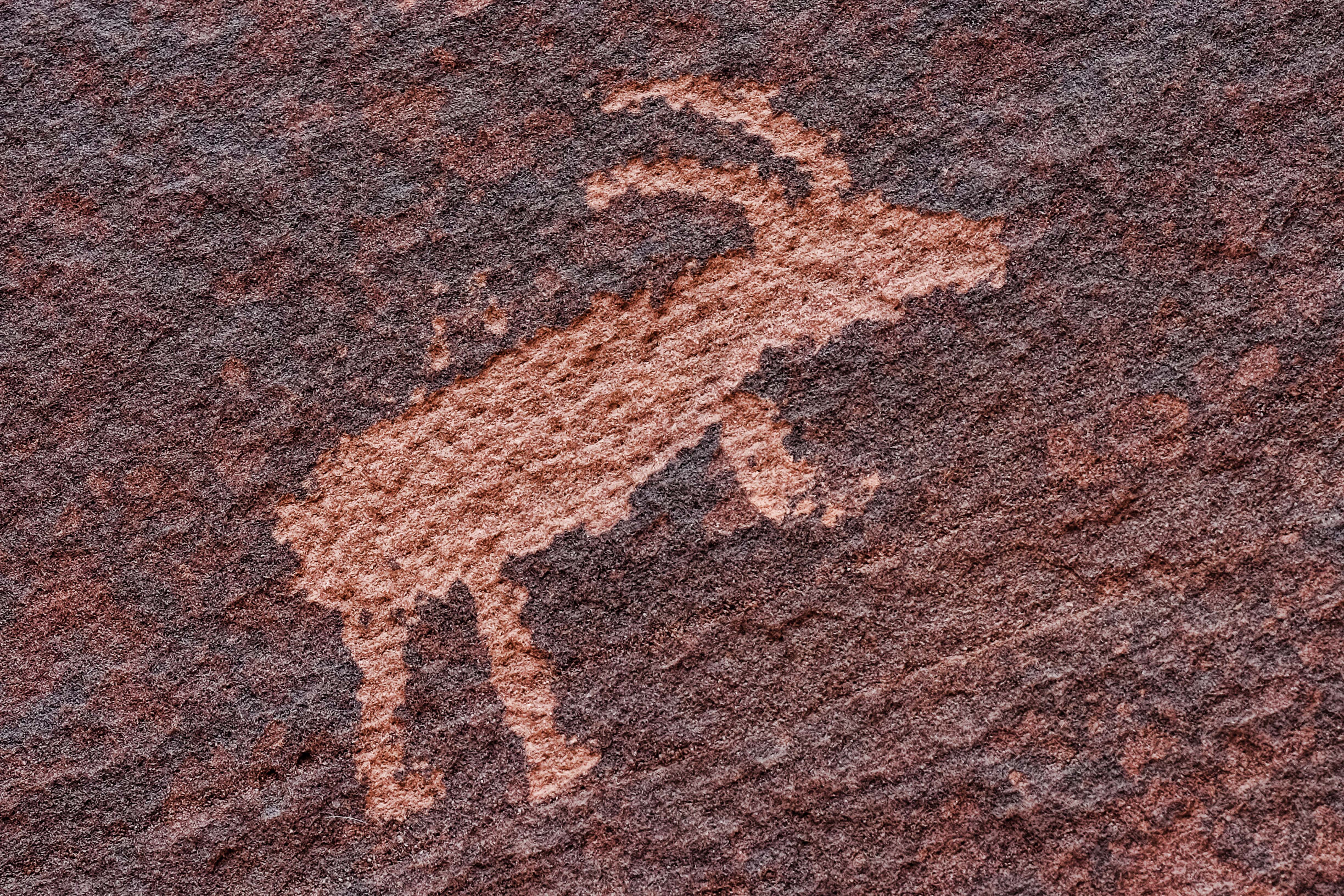
We were surprised to find a traffic jam in Wire Pass Canyon. There were a couple of drops that had deep water below and were difficult to negotiate. With a couple of groups trying to get into the canyon, it was a different situation than we encountered before.Ultimately we had to embrace having wet feet to continue into the canyon.Wildflowers blooming in Wire Pass CanyonOne of several petroglyphs at the confluence of Wire Pass and Buckskin GulchSorting out the footwear situation before attempting a deep water crossing. I had already gone through, boots and all.Crazy kids!More sillinessLaura stabilizing herself with the walls of the canyon while walking carefully through the cold, muddy water.Stunning canyon scenery
Getting out of the canyon was harder than it looked. I had to be hauled up over the rock I am grasping in this photo.Heading back to the trailhead through Coyote Wash
We left the Overland Expo the afternoon of Sunday, May 17 with Chris and Laura to drive north on the Arizona Backcountry Discovery Route, picking it up just east of Mormon Lake, where the expo was located. We had dry weather — a nice change — but made slow progress on the deeply rutted forest service roads. Camp that night was 11 1/2 miles south of Winona and was our best night of camping to date, thanks to the quiet, the drier, warmer weather, and being out in a more solitary spot and away from the crowded campground. Chris and Laura were camp cooks that night and as always they whipped up a delicious meal.
Chris and Laura enjoy a glass of wine while preparing dinner at our camp site south of Winona
The next day we spent considerable time in the Flagstaff area reprovisioning and preparing for the next leg of the journey. Bill even installed his new skid plate in a WalMart parking lot. From there we continued north on the AZBDR, through Sunset Crater National Monument, and into the southern reaches of the Kaibab National Forest, where we camped that night.
Our vehicles north of Winona, heading toward Sunset Crater National Monument
We had a gorgeous camp spot off the road and beneath tall pines which we named “Coyote Loco” for the coyote who paced back and forth in a semi-circle near our camp much of the evening and brought his buddies close to camp to howl at us during the night.
Grand Canyon from Grandview Trail
The next day we visited the Grand Canyon at Grandview Point, and enjoyed a nice hike below the rim on the Grandview Trail.
Chris and Laura on the Grandview Trail
After our hike we continued north into Vermilion Cliffs National Monument, where we camped — another nice camp spot. Along the way we crossed the Colorado River at Navajo Bridge, and stopped and had dinner at Cliff Dwellers Lodge on Highway 89A, one of our favorite spots.
Bill manages to clean up the supper dishes even in the rain and snow
The weather was a challenge at this year’s Overland Expo (overlandexpo.com), where we camped in rain, snow and lots of mud for the annual gathering of adventure travelers from May 15-17. In spite of the weather, we enjoyed catching up with friends and all of the sights and sounds. Chris and Laura Moxley from Norman joined us for the expo and we had a great time camping with them. After the event, the four of us continued north for more adventures. Details in the next installment!
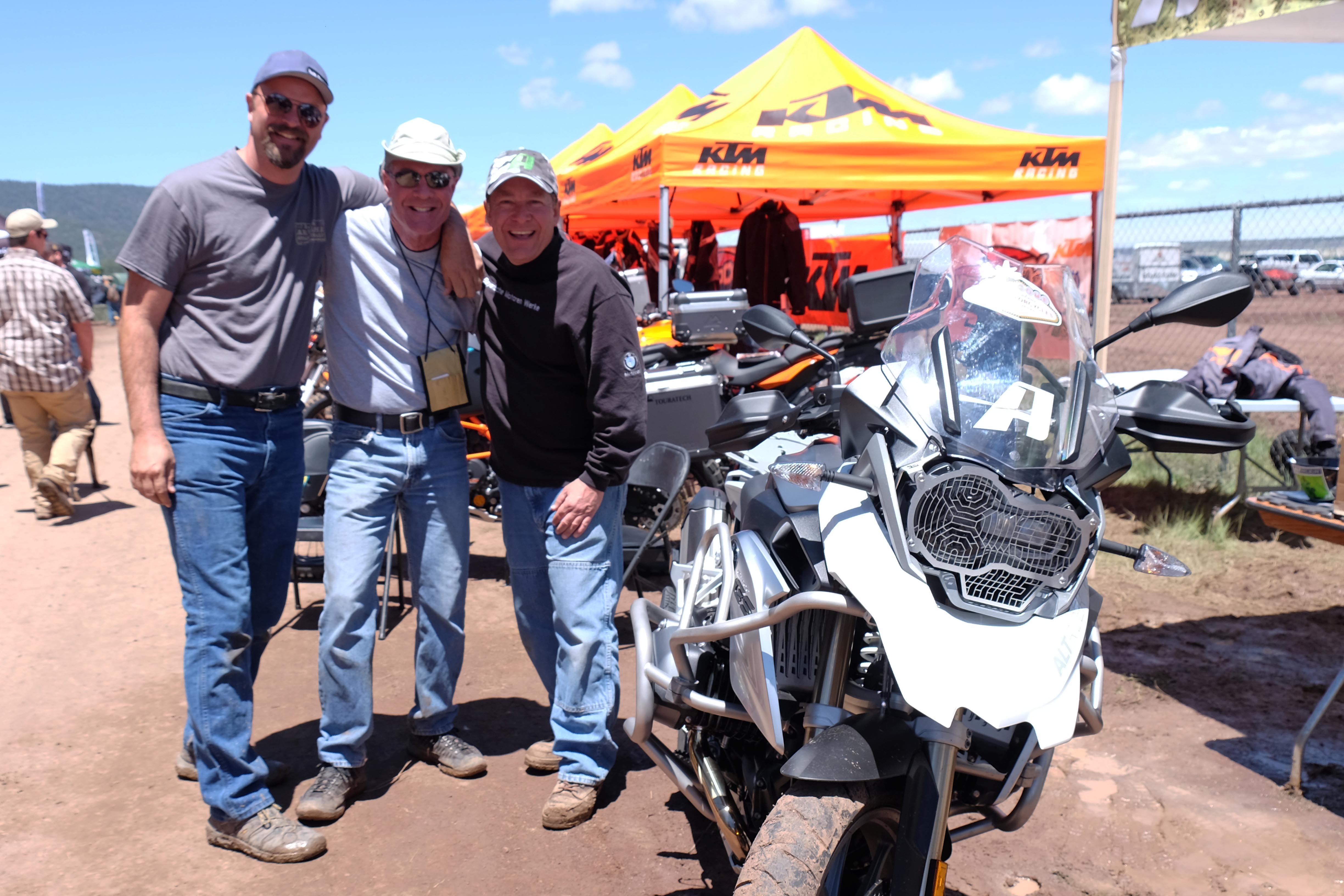
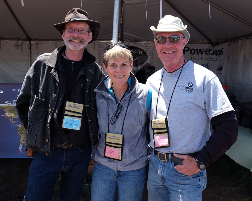
The puddle in front of Chris and Laura’s tent (along with the snow on its sides) is a good representation of the weather we experienced at the expo.Our friends Danell Lynn, of BlackTie2BlackTop fame, blacktie2blacktop.com , and Nick Calderone, star of the Right This Minute television program, rightthisminute.com.Bill with Frank Ledwell, publisher of OutdoorX4 magazine, outdoorx4.com.Our next door neighbor in camp at the expo was filmmaker Sterling Noren, whose latest work is the award documentary, “Run Free,” runfreemovie.com.When the sun came out, I went for a spin on Nicole Espinosa’s Ural with Kris Green and Ginamarie Austin.It’s always a pleasure to see Shawn Thomas and Kurt Asplindh!It was a kick to meet Sam Manicom, one of my favorite adventure travel authors! http://www.sam-manicom.com/
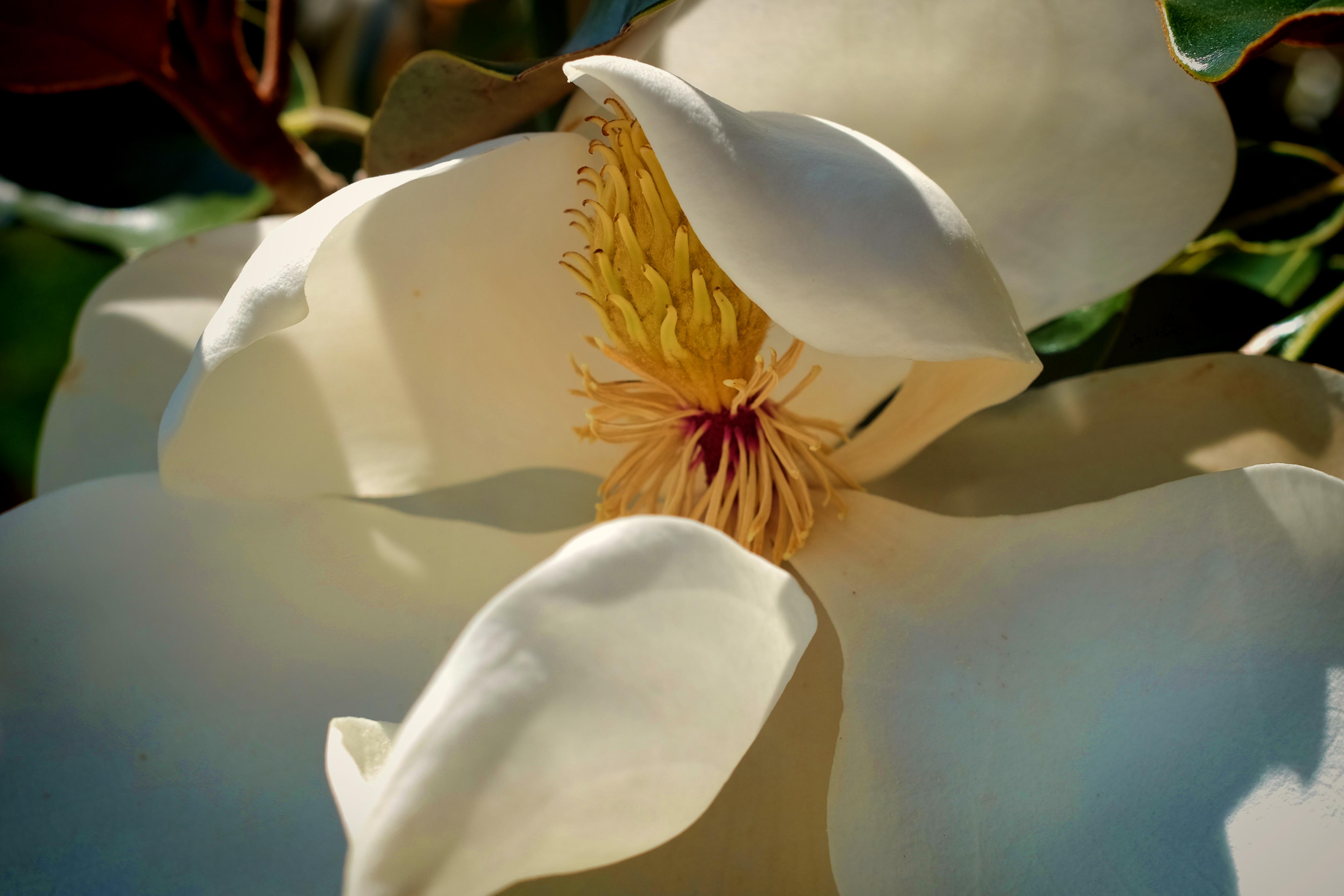
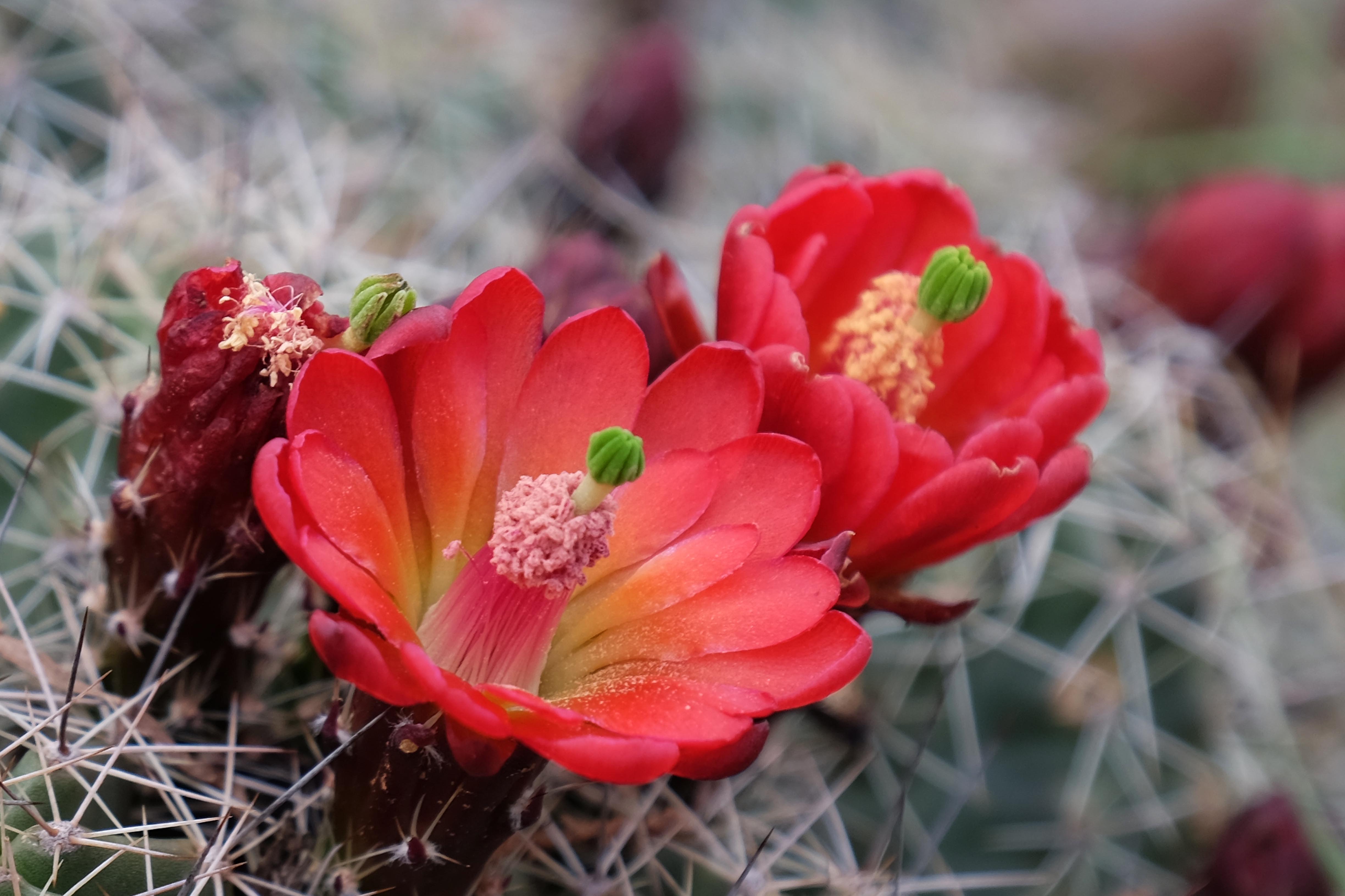
Lavender roses and white bougainvillea from Maya’s garden
Traveling from Tucson towards Flagstaff for the Overland Expo, we stopped for a visit with Bill’s old friend John Ragozzino, who lives in Fountain Hills, a suburb of Phoenix. John and his lovely girlfriend, Maya Civadelic, were incredibly gracious hosts. They fed us well, and we ate and drank way too much. Maya’s green thumb has created a desert paradise of their home, which is surrounded by gardens — fruit trees, grapevines, flowering vines and shrubs, vegetables. And, of course, cactus: