

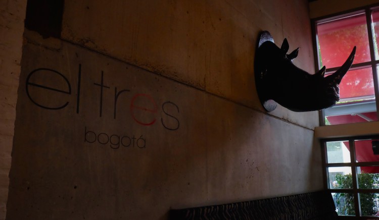


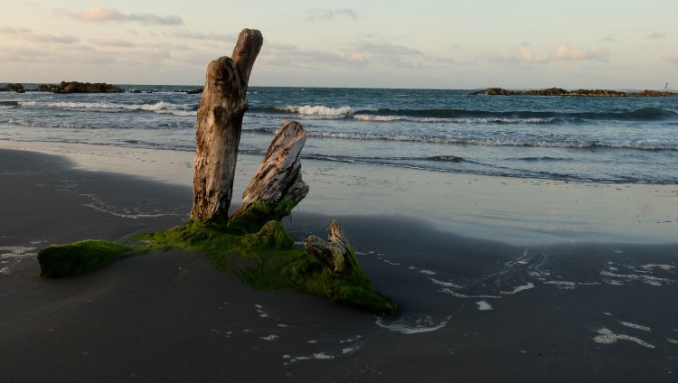
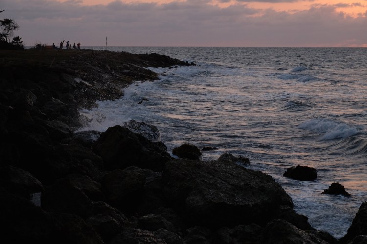
imagery and adventure

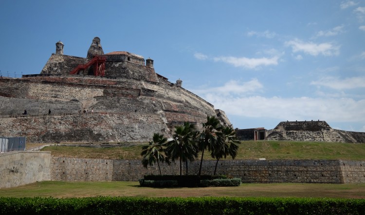
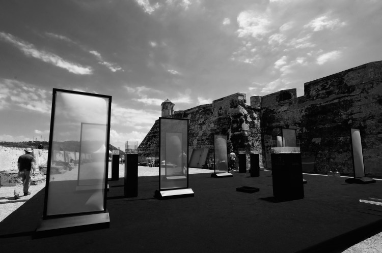
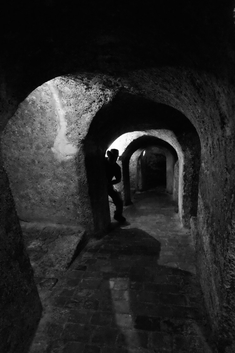
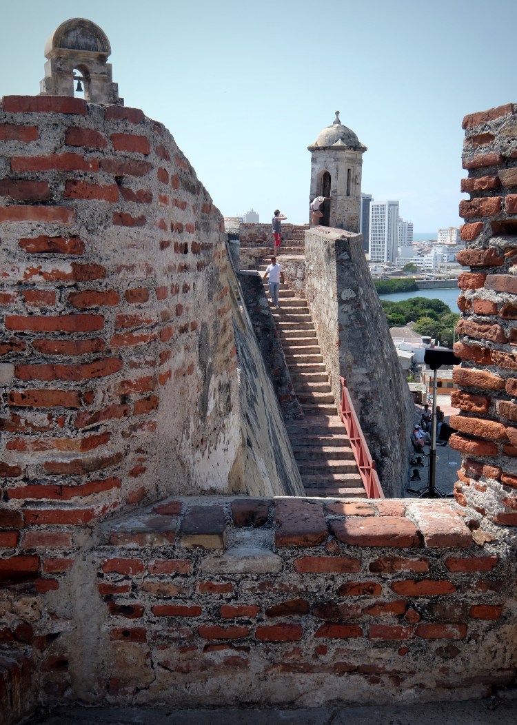


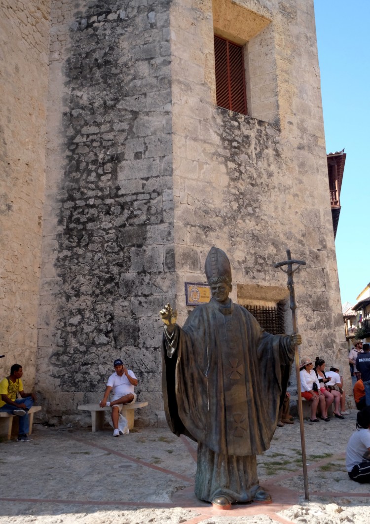
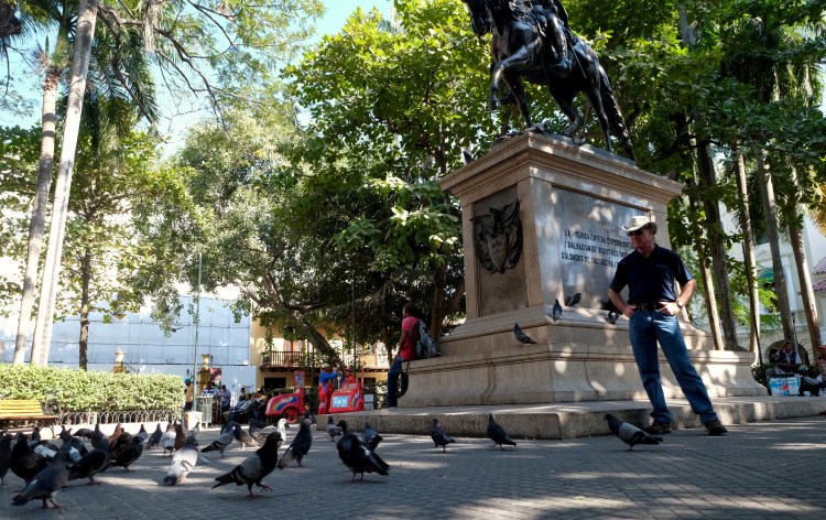
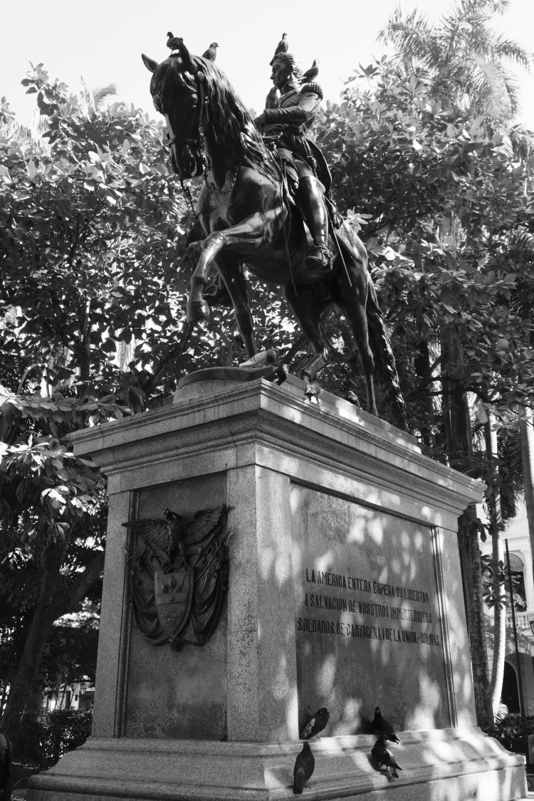
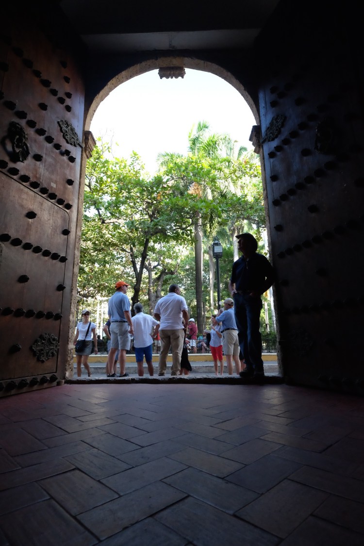
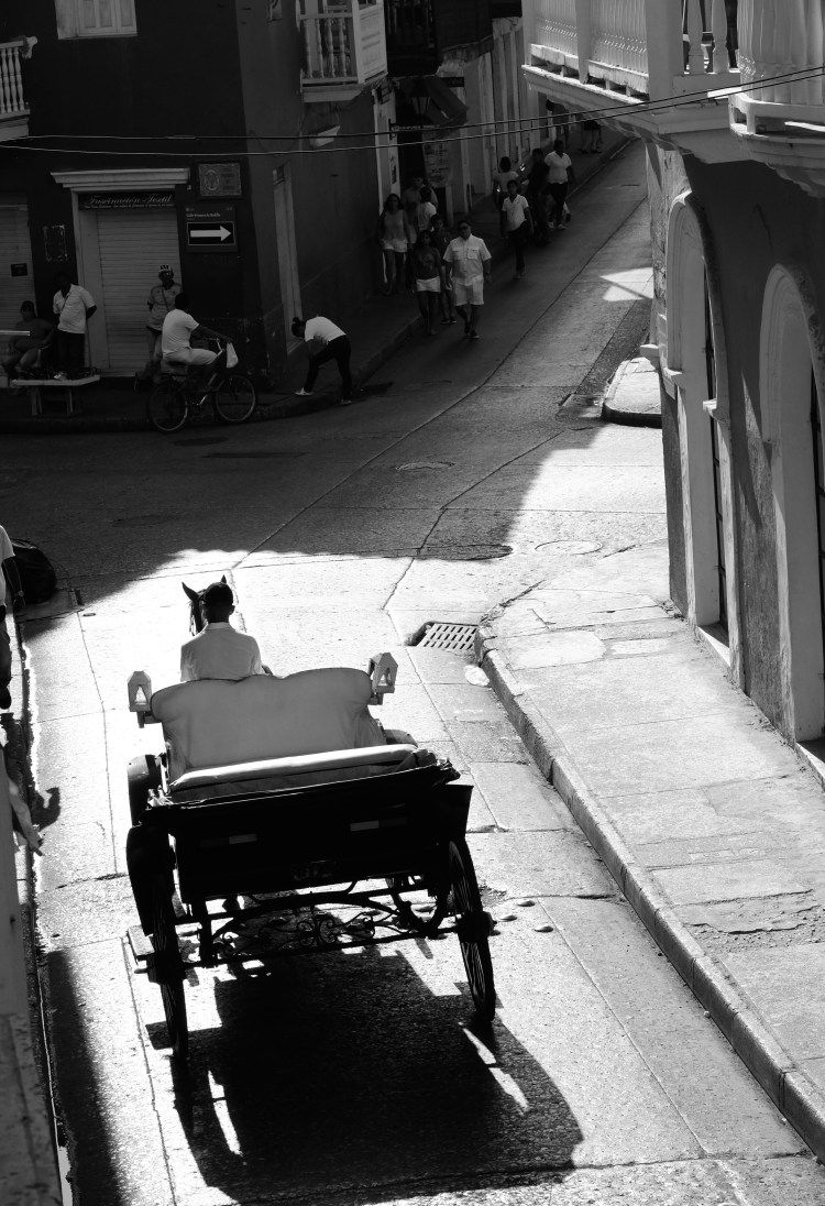
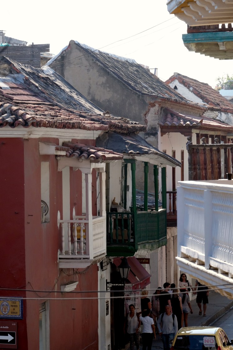
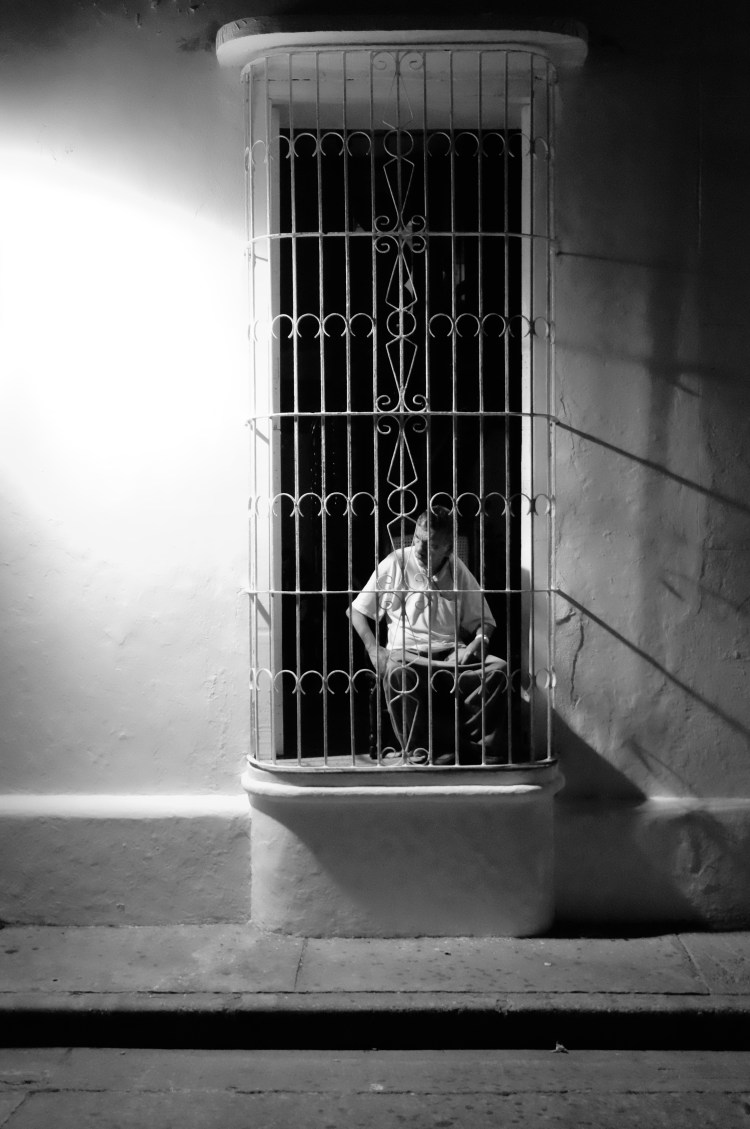
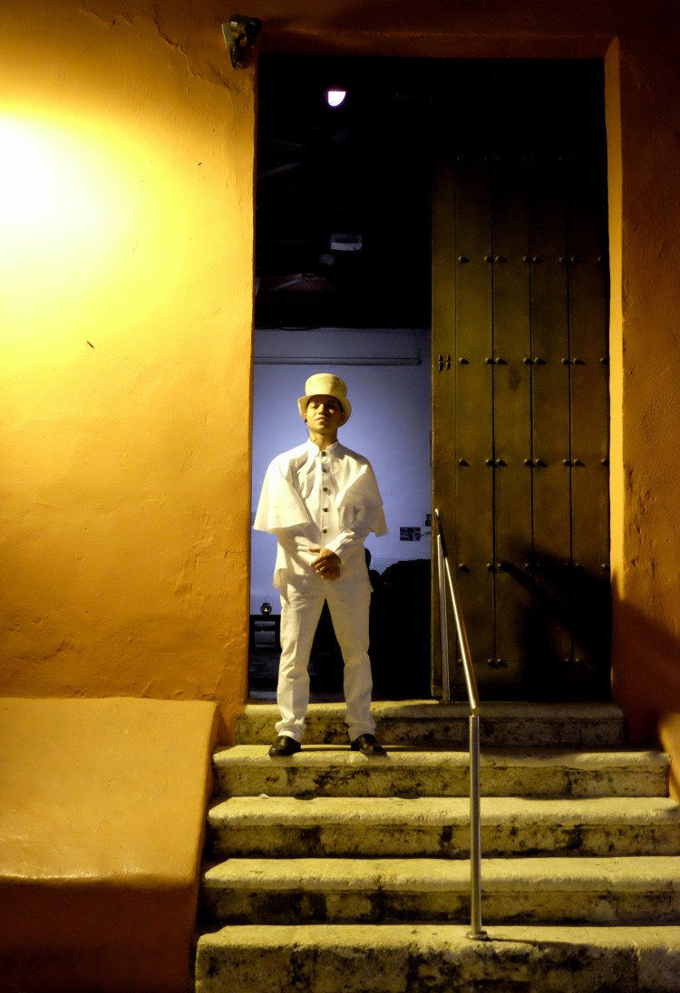
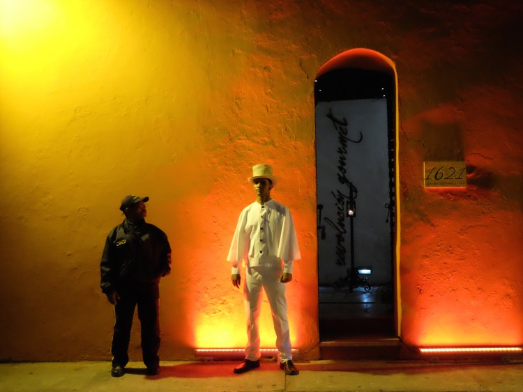
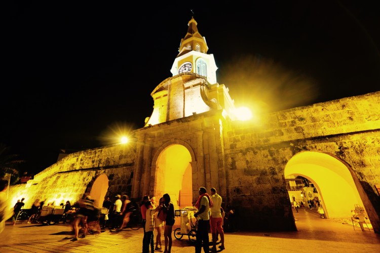
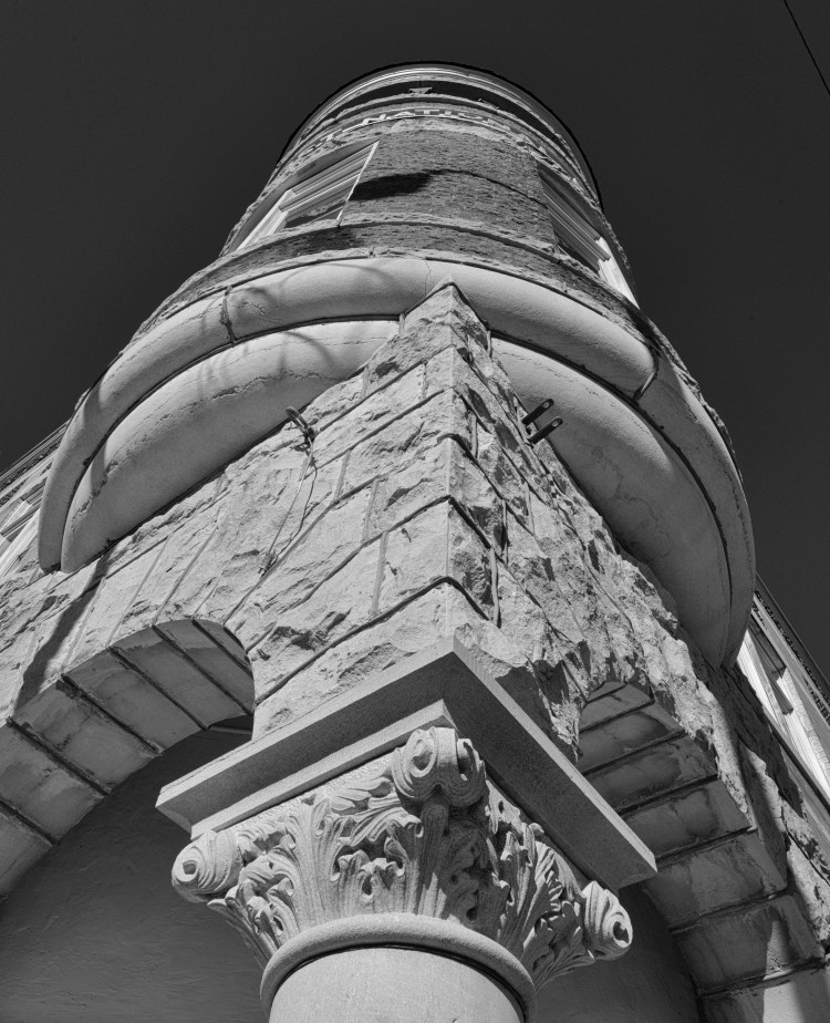
Street scenes in the old city:


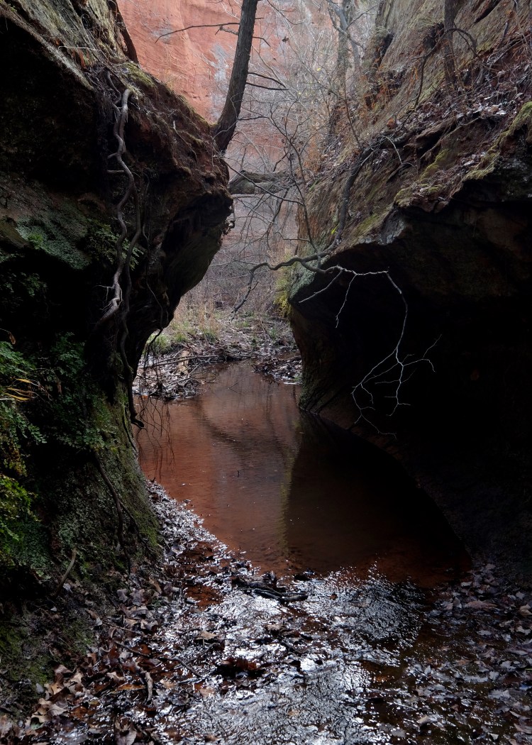
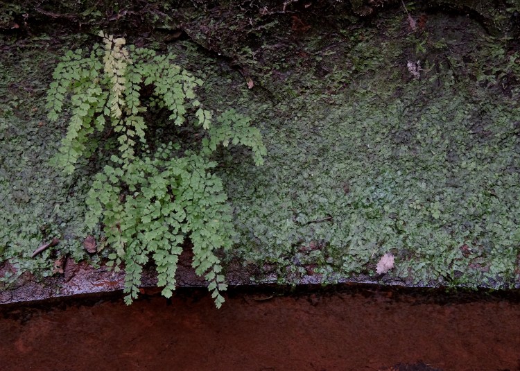
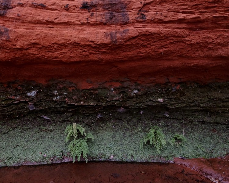
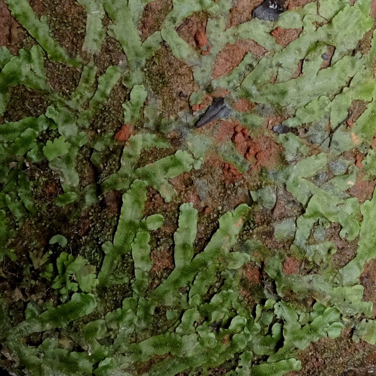
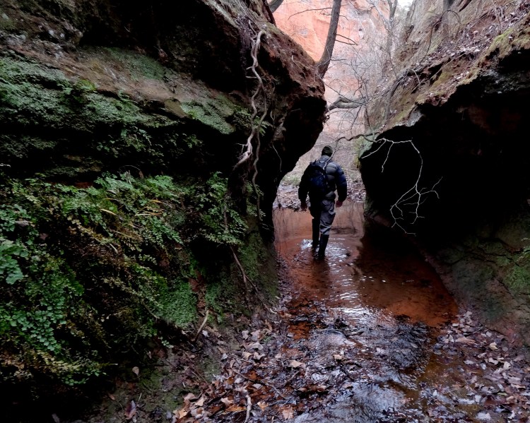
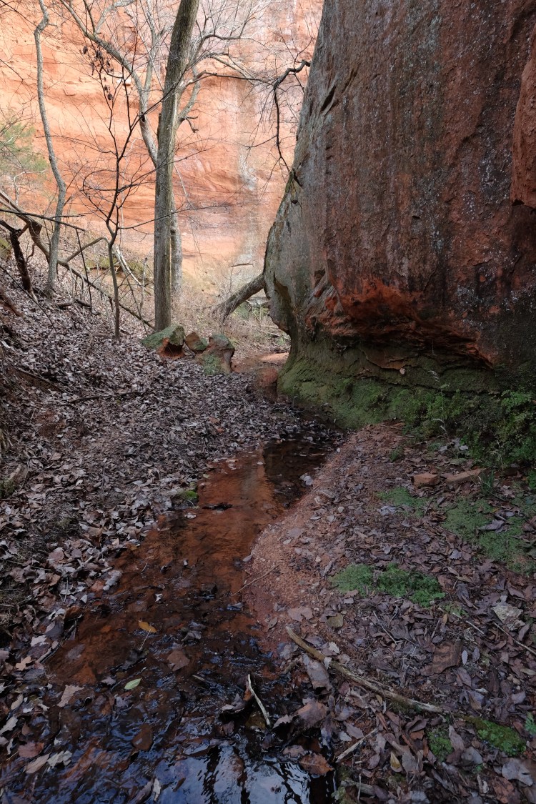
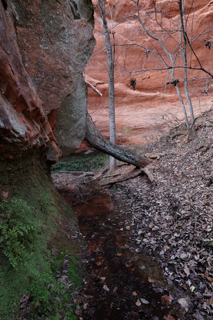
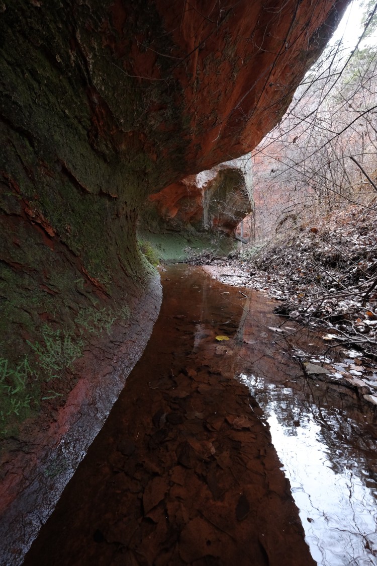
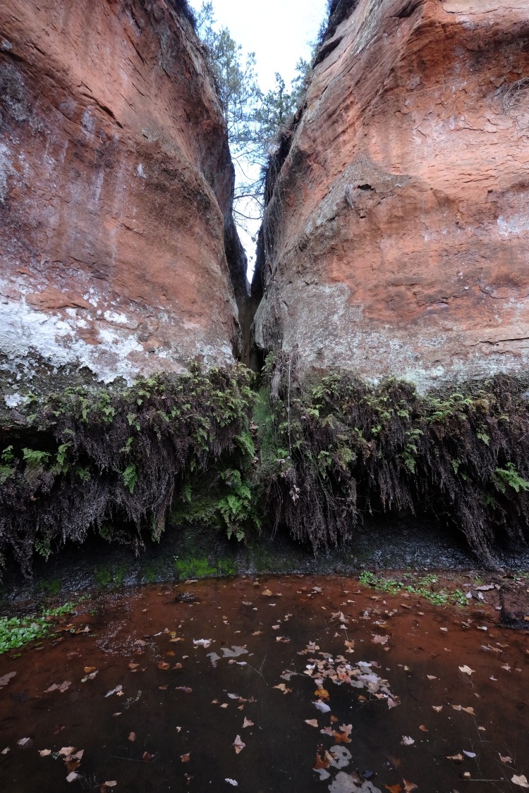
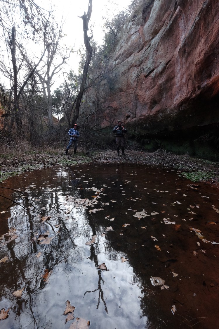
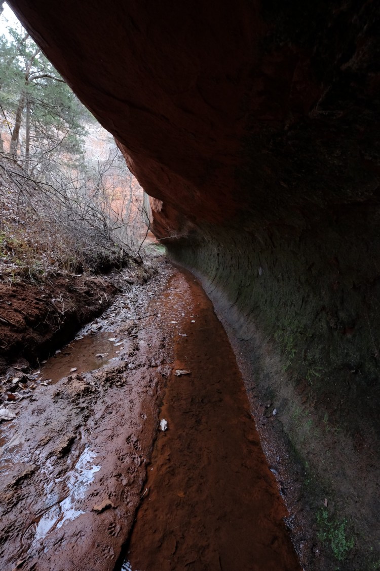
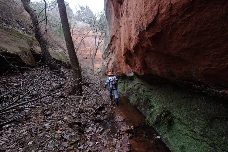
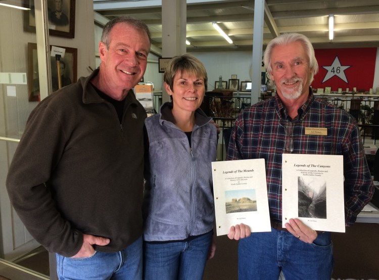 Congratulations to Art Peters, curator of the Hinton Historical Museum, on publication of his second book, “Legends of the Canyons, A Collection of Legends, Stories and History of the Canyons in North Caddo County.” Bill and I hiked with Art in one of these beautiful canyons last winter and one of my photos from that excursion is on the cover of Art’s book, which is available at the Hinton Historical Museum, just north of the entrance to Red Rock Canyon State Park, or by contacting Art at hhmuseum@hintonet.net or (405) 542-3181.
For more canyon photos, see my post from that trip, Gallery: Secret Canyon and for more about Art’s work in Caddo County and his research on the 1849 California Wagon Road, see The “Natural Mounds” of Caddo County and my story from Oklahoma Today magazine, The Great Golden Way.
The second day of our trip on the Butterfield Overland Mail stagecoach route through Oklahoma yielded some treasures. See Retracing the Butterfield Overland Mail Route for photos from the first day.
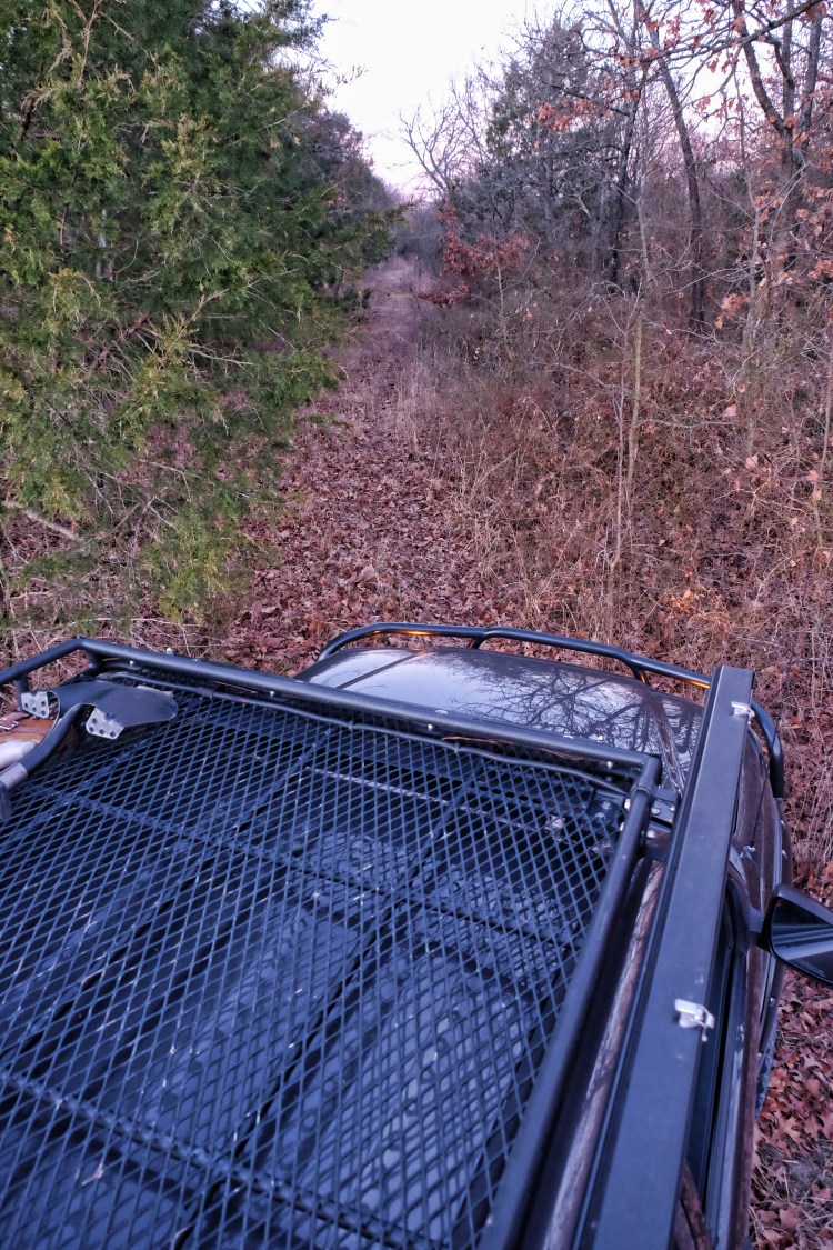
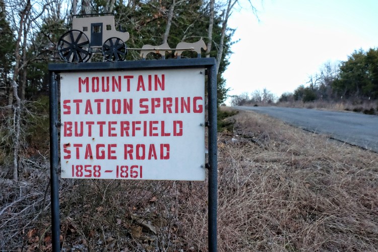
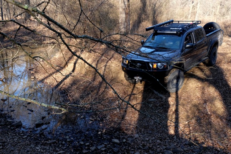
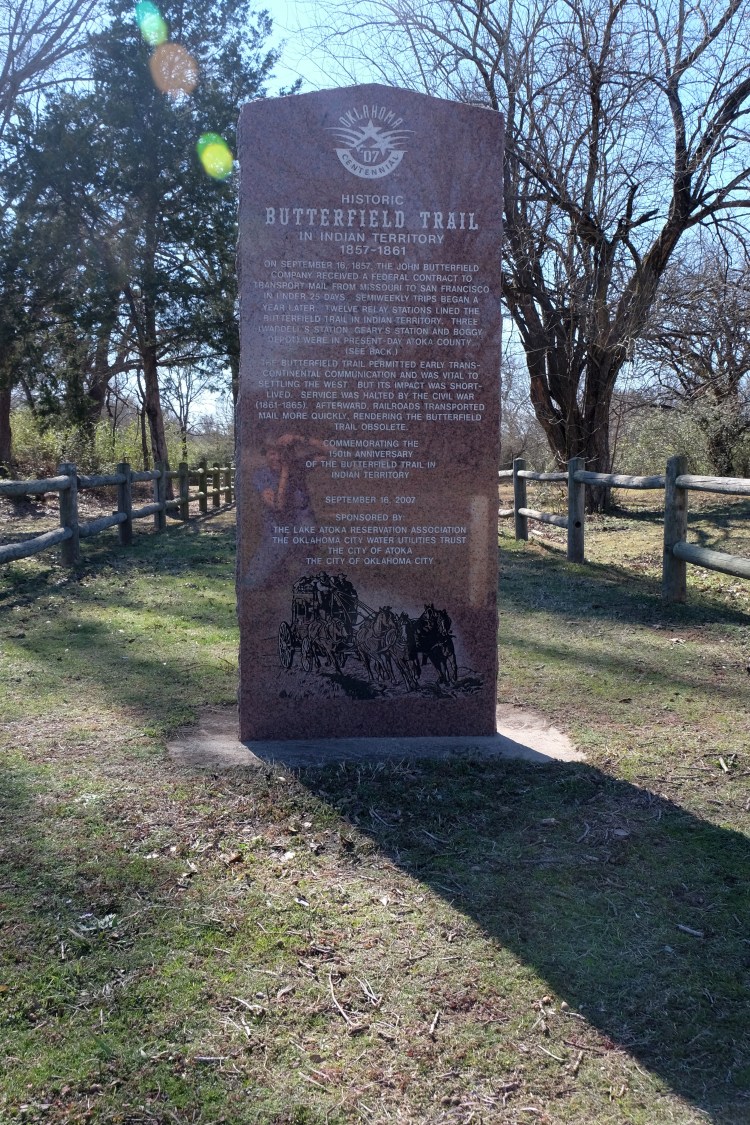
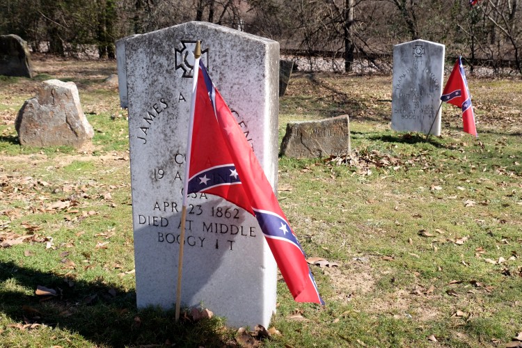
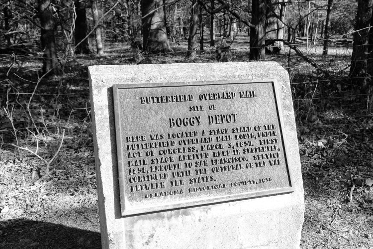
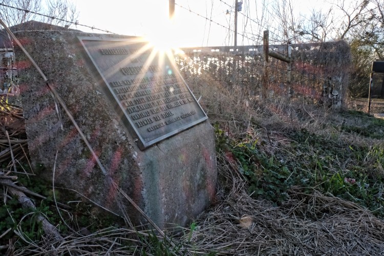
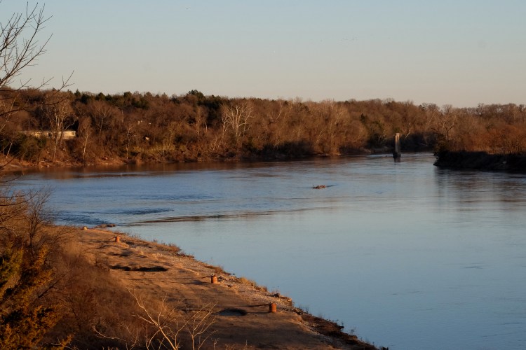
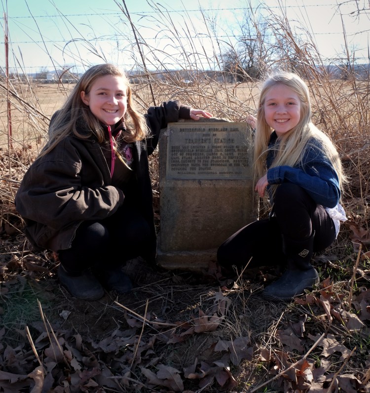
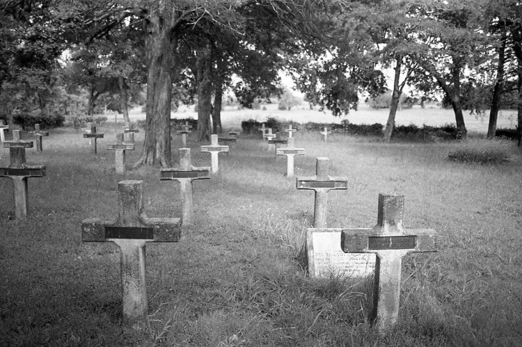
Continuing our exploration of the route of the Butterfield Overland Mail stagecoach route through Oklahoma (begun on a short trip last year about this time). The Butterfield stage ran from 1858 to 1861 and 192 miles of its route traversed what is present-day southeastern Oklahoma. Today we started in Spiro, Oklahoma and made it to a point southwest of Wilburton, visiting Trahern’s (we’d already been to Walker’s), Holloway’s, and Riddle’s Stations as well as Brazil Cemetery, Edwards Store and Mountain Station. Another full day tomorrow as we continue our travels toward Colbert’s Ferry on the Red River.


Sources:
http://digital.library.okstate.edu/Chronicles/v011/v011p0798.html
http://www.civilwaralbum.com/indian/butterfield1.htm

In central Oklahoma, the weather between Christmas and New Year’s was sunny and warm and I was ready for a road trip, but I didn’t have time to get too far afield. Where could I go within an hour or so’s drive of home? I like themed travel — burning gas “for a reason” makes it seem more like a treasure hunt, so I set off with my cameras and a Clif bar to photograph all the Ozark Trail obelisks remaining in Oklahoma.
Not to be confused with a modern-day hiking trail in southern Missouri, this Ozark Trail was a network of roads predating the federal highway system, a predecessor to Route 66. The Ozark Trail Association was organized in 1913 to promote road improvement from Missouri to Arizona. It was the brainchild of eccentric entrepreneur “Coin” Harvey, founder of Monte Ne, the northwest Arkansas resort now immersed under Beaver Lake.
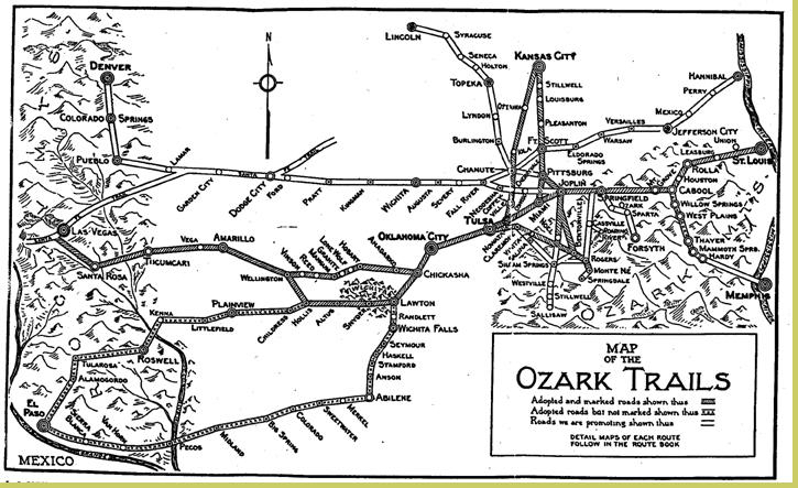
Twenty-one foot obelisks marked some of the Ozark Trail intersections but, not surprisingly, very few remain. Two are in Oklahoma — in Stroud and Langston — and a replica in Stratford is worth inclusion in the tour. I set out to visit and photograph all three of them and other interesting spots in between.
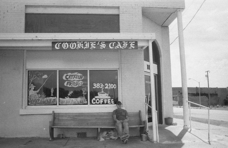
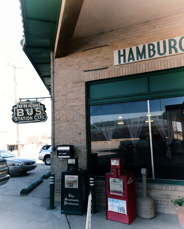
From my home in Norman, a short jaunt down I-35 took me to Purcell, where I left the interstate for secondary highways and county roads. I drove through downtown and across the Canadian River bridge into Lexington, continuing on Highway 39 east to Highway 102, then south to the community of Wanette. There’s little left of Wanette’s downtown but a cafe. It’s worth a stop for the ambience and a good burger. (insert photo).
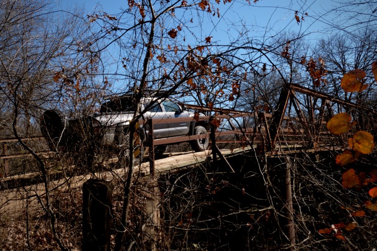
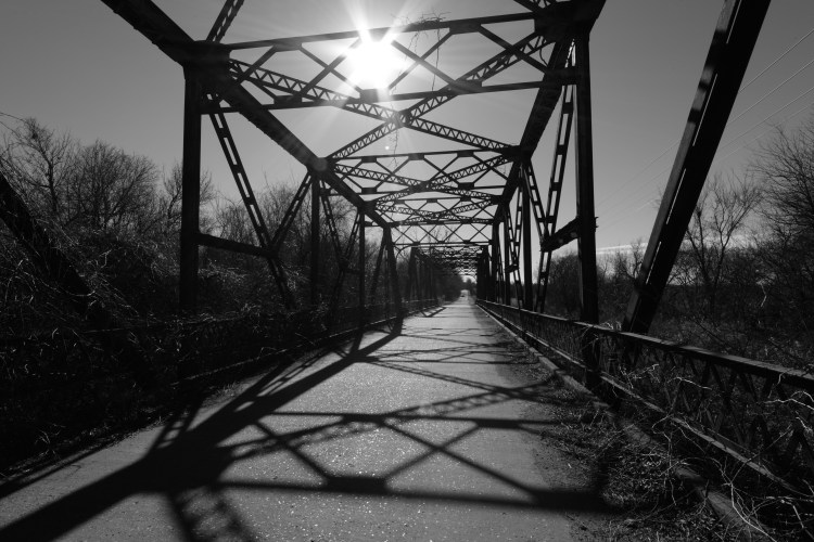
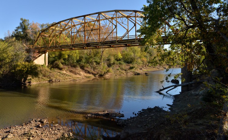
The road continues south out of Wanette and turns into N3350/Drummond Road. It takes you to a historic steel truss bridge over the Canadian River. This was built circa 1903 as a Santa Fe railroad bridge and later converted for automobile use. There are pull-outs on both ends of the bridge for one or two cars and you can easily scramble down underneath the bridge and walk out on the river bed.

More information on the bridge:
https://bridgehunter.com/ok/pottawatomie/700000000000/
http://okbridges.wkinsler.com/pottawatomie_county/canadianbridge2.html
http://nr_shpo.okstate.edu/nhrpdfs/10000070.pdf
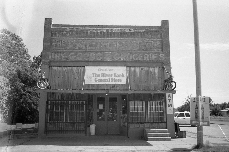
Continue south of the river to Highway 59 into the community of Byars. Like Wanette, there is little here but empty buildings, but one historic structure houses an operating general store. Old motorcycles sit atop the awning over the front entrance so you can’t miss it. Again, it’s worth a stop for a cold drink.
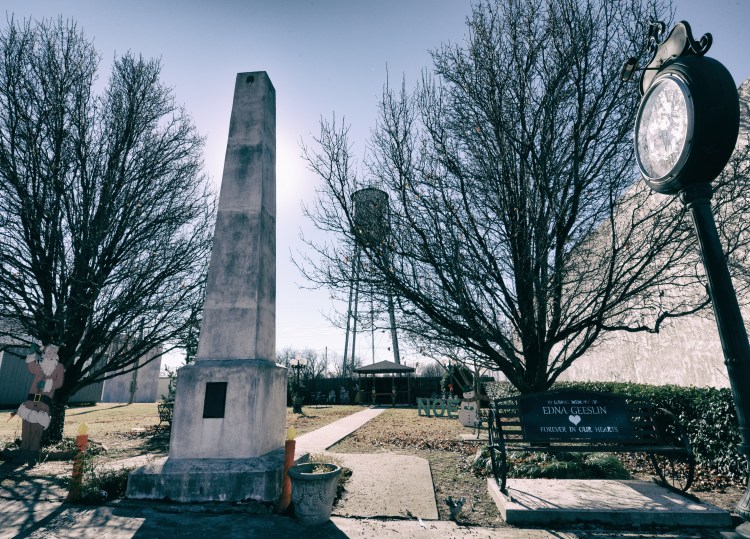
Travel south out of Byars on a mixture of paved and dirt roads to Highway 19, which takes you east into Stratford, known for its peaches. There, if you are hungry and it’s not peach season, get a burger at McGee’s in Stratford’s downtown, just south of the highway. Across the street south from the burger joint sits a small downtown park with, strangely, an obelisk. It certainly stands out against the early statehood architecture. According to the inscription on its base, it is a replica of an Ozark Trails marker placed on a north-south route from Tulsa to Dallas (not on any of the maps I’ve seen so far). The original, which also stood in downtown Stratford but had been pushed over and buried, was exhumed and restored and now stands on a private ranch nearby.
Stratford sits at the intersection of Highways 177 and 19. Take 177 north to Asher. If you have time, a side trip to Sacred Heart Abbey, located about 7 miles east of Asher, is worth the effort. See more at https://susandragoo.com/2016/06/01/sacred-indeed/
Back in Asher, just east of the 177 and Highway 39 intersection, turn north on Division Street, which is Old Highway 18. This concrete, curbed highway was commissioned in 1924 and an original remnant runs from Asher to Tecumseh. The 1930 steel truss bridge over Salt Creek is picturesque and makes a good photo stop. While I was there taking pictures, a friendly man in a pick-up stopped and asked, “Are you inspecting our bridge?” I explained I was just out taking pictures for fun. Sadly, these visually appealing old bridges are constantly being replaced by nondescript concrete versions. No doubt the new bridges are safer but the loss of historic value and visual appeal is unfortunate — and also one of the realities of the passage of time.
More information on the bridge:
https://bridgehunter.com/ok/pottawatomie/salt-creek/
http://okbridges.wkinsler.com/pottawatomie_county/saltcreek8.html
Just north of the community of Romulus (the Oklahoma highway map also shows a corresponding community of Remus east of here) and before it runs back into 177, turn on Fairview Road. This curving paved road goes east to Highway 9A. There, turn right and follow 9A into Maud. Maud also has a decaying downtown but after awhile taking photos of old buildings falling in on themselves just gets depressing, so I didn’t stop. Continue through Maud east to Highway 59 and then north on 377 to Seminole. As you enter town, on the east side of 377 is historic downtown Seminole. This is not depressing. It’s a historic downtown extensively lined with brick streets and appears to be flourishing. The train depot houses a Mexican restaurant and the Union Bus Depot a hamburger joint — historic buildings repurposed and apparently well used. I had my Clif bar and other places to go, so I continued north.
From Seminole, it’s a highway trip on 377/99 to just south of Stroud. Turn off the highway at County Road 900 and drive west to 3540, then north to 890. Here is an original Ozark Trails marker on an original stretch of dirt roadbed of Route 66.
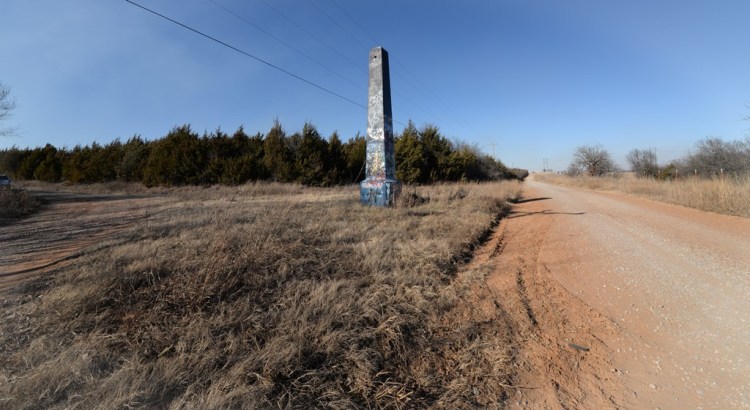
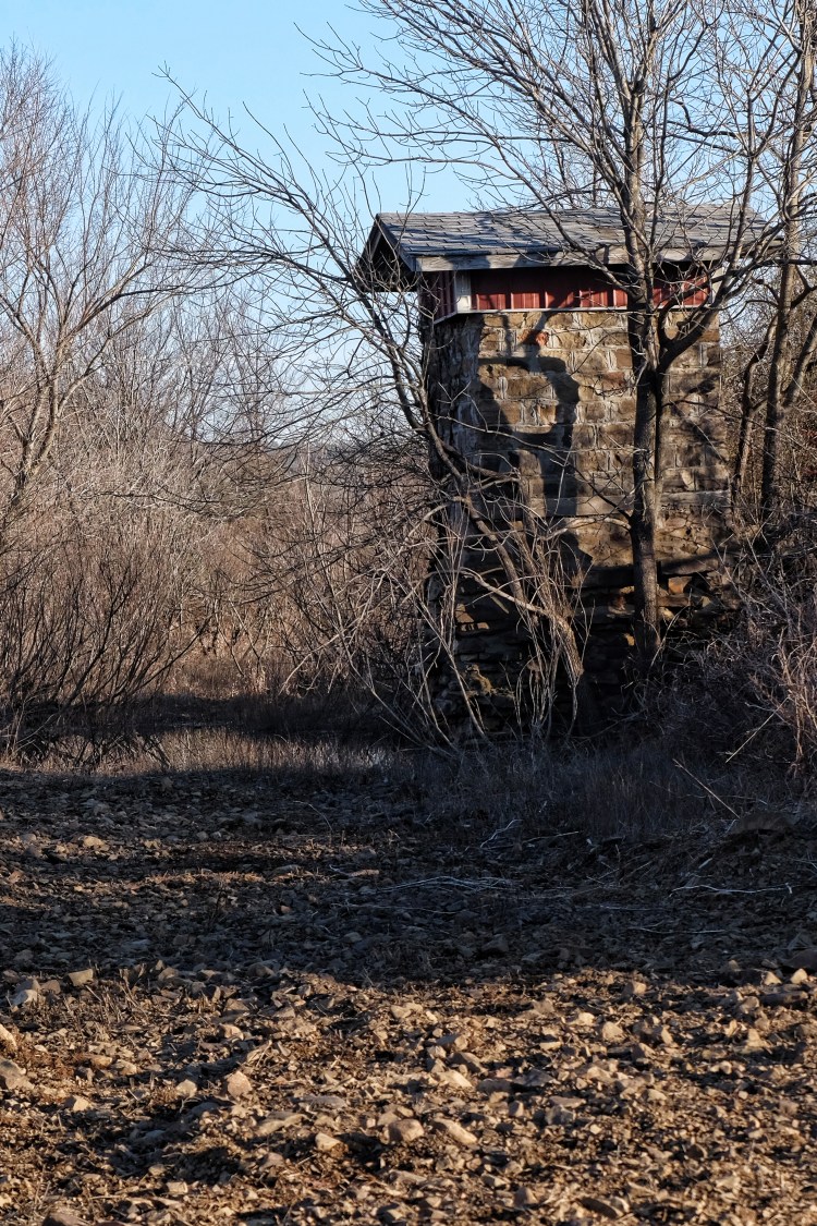
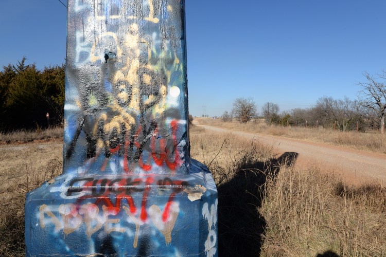
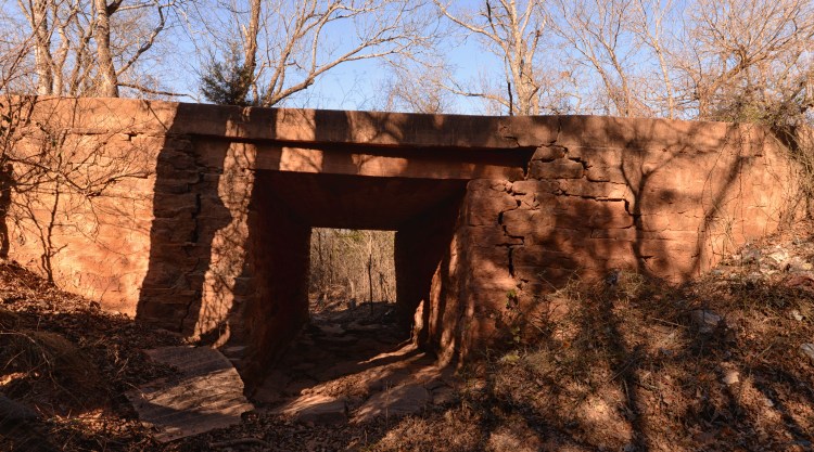
According to a National Park Service web site on Historic Route 66, “The U.S. Highway 66 corridor created in November 1926 often took advantage of the pioneering work in road construction carried out in the early 20th century by private and local ‘good roads’ associations from Missouri to Arizona. As part of the organization’s regional effort to modernize Oklahoma’s roads, a local subdivision of the Ozark Trails Association constructed this segment between 1915 and 1917. Today, this section remains in its original condition as a so-called ‘improved’ dirt road–a dirt road that was occasionally graveled and graded. It is approximately 18 feet wide, but with variations, as there is no precise edging to the pavement. An old and rare Ozark Trails Monument–a 21-foot stone obelisk that marked the intersection of Ozark Trails roads–sits at the eastern end of the segment. On the western end was the Dosie Creek Bridge, a steel truss, wood-decked structure constructed in 1917, then demolished and replaced in 2004. In the middle of this segment are two original stone Box Drains probably built in 1917.”
https://www.nps.gov/nr/travel/route66/oklahoma_road_segments.html
Other sources say the marker was originally installed in 1920 in downtown Stroud and later moved to this stretch of Route 66. Author Jim Ross questions this theory, see his well-stated case here: https://www.jimross66.com/strouds-1920
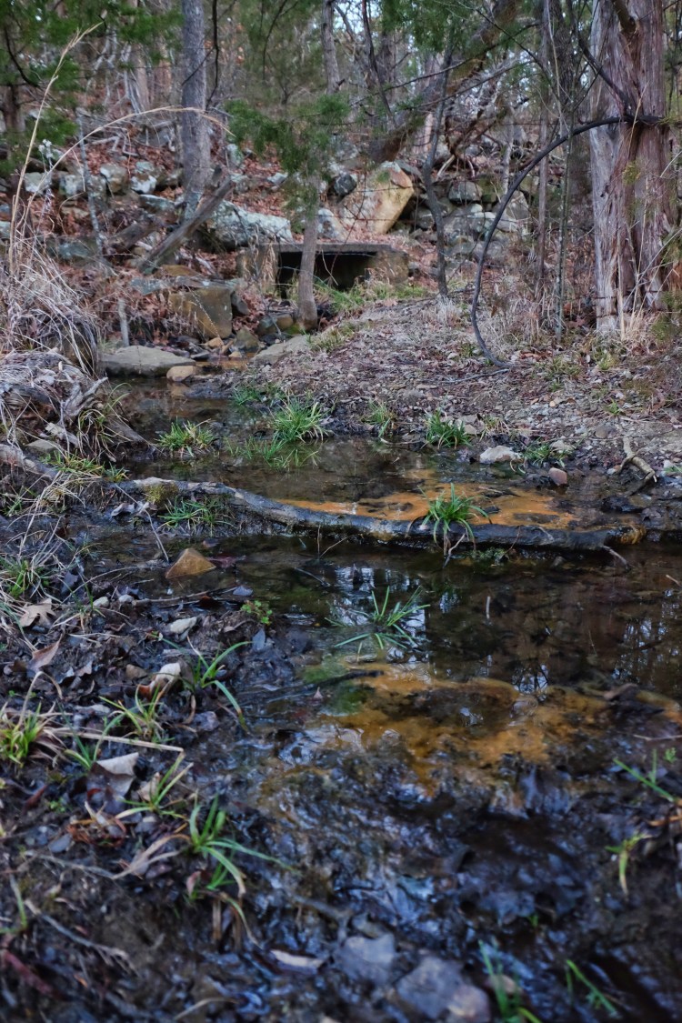
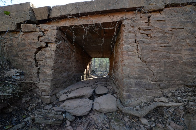
After I photographed the obelisk I drove west a short distance and quickly identified the box drains by orange markers placed on both ends. I parked on the side of the road and scrambled down to explore. The drain is deep enough to walk through and I took a moment to do so, thankful that we hadn’t had any rain recently and the surface was dry. By the cracks in the rock, it appears this historic structure may have to be fortified or replaced soon, hopefully the former.
Click here for National Register of Historic Places documentation for this stretch of the Ozark Trail/Route 66: NRHP Documentation
From Stroud take Highway 99 north to County Road 850 then west to the community of Kendrick. Continue on county roads north and west to Highway 18 and drive north through Agra to Highway 33. Turn west there and within just a couple of miles turn north on Highway 108, which will take you into Ripley. As you travel north on Highway 108 you’ll cross the Cimarron River. On the north side of the river, beneath the bridge, you’ll see a road running east and west along the river bank. This is Ghost Hollow Road, another interesting side trip. Read more about it here:
https://billdragoo.files.wordpress.com/2015/01/oklahoma_ghost-hollow_roadrunner_oct12.pdf
Continue north to E. 56th Street and turn east. This looks like a private drive but it’s a public road, winding around to a north-south road, 3430. Turn north there and as you travel you will see to the northwest a hilltop with a dark mound of trees at the top. It’s hard to tell but there is a rock outcropping here known as Irving’s Castle. It’s on private property but the owners keep a road mowed through the pasture to this historic site.
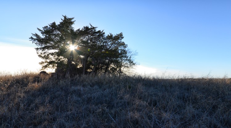
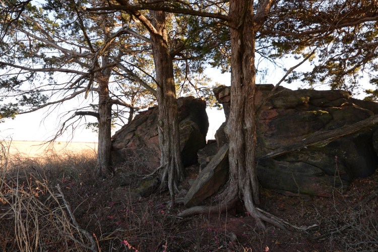
Drive to the top and you’ll find the formation Washington Irving made famous during his 1832 “Tour on the Prairie” through what would become Oklahoma, likening it to “the ruins of some Moorish castle, crowning a height in the midst of a lonely Spanish landscape.” Cedars have grown up around it in the interim, making the rock less prominent from a distance, but it is remarkable in this landscape nonetheless. After my visit I read that there is a bronze plaque on the formation but I didn’t see it. Either I just missed it while I was there or it has been removed.
I highly recommend reading Irving’s entertaining account of his adventure, available at public libraries or free on Kindle:
https://www.amazon.com/s/ref=nb_sb_noss_2?url=search-alias%3Dstripbooks&field-keywords=A+Tour+On+the+Prairies
More on Irving’s Castle: http://nr_shpo.okstate.edu/nhrpdfs/78002257.pdf
Return to Ripley and continue south back to Highway 33, then turn west toward Langston. On the way you’ll pass Coyle and Saint Francis of the Woods, a retreat center I have visited briefly but haven’t explored.
http://www.stfrancisofthewoods.org
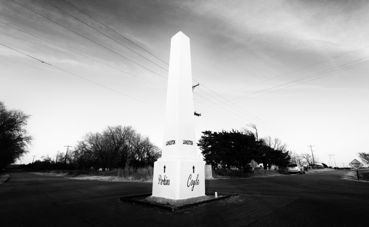
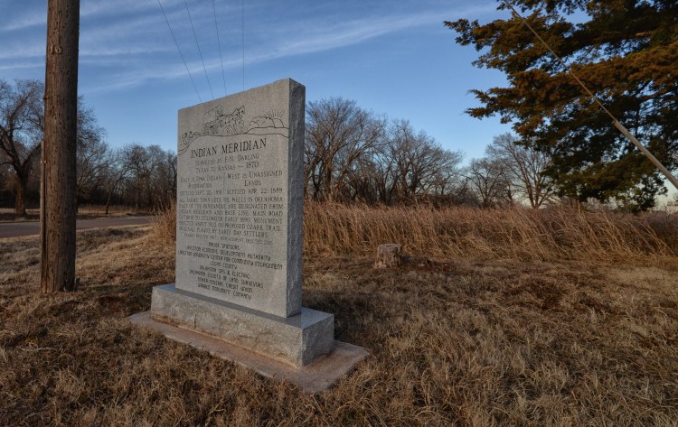
Just past Coyle, the Langston exit pops up on the left. Here there are two streets to choose from, Sammy Davis Jr. (did he ever visit here and if so, when?) and Logan/Indian Meridian. Take Logan south to Washington, where the obelisk is located in the middle of the intersection. It also marks the Indian Meridian (a separate marker also stands at the intersection), which divided Oklahoma and Indian territories before statehood and remains the reference point for all land surveys in Oklahoma.
As far as I know, these are the only Ozark Trail markers in Oklahoma. I read that in Miami a monument to the Ozark Trail was being considered but don’t have any more information. The sun was setting as I headed west on Highway 33 after bagging this third marker. It was a short trip to Guthrie, where I jumped back on I-35 for the drive back to Norman. It was a perfect way to spend a winter day.
Contact me at susan.dragoo@gmail.com for GPS traacks.
Other Sources:
http://drivetheost.com/thespreadoftheoz.html
http://www.drivetheost.com/pyramidsonthetra.html
http://www.405magazine.com/April-2015/The-Mysterious-Monument-of-Lincoln-County-Oklahoma/
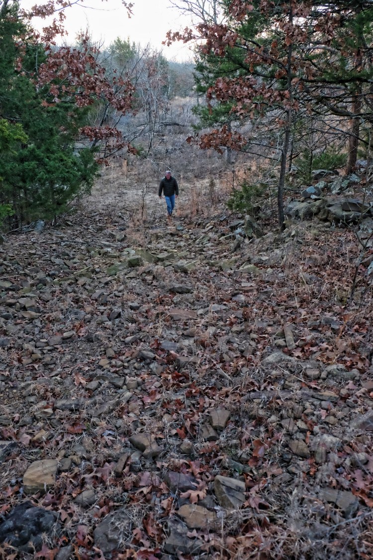
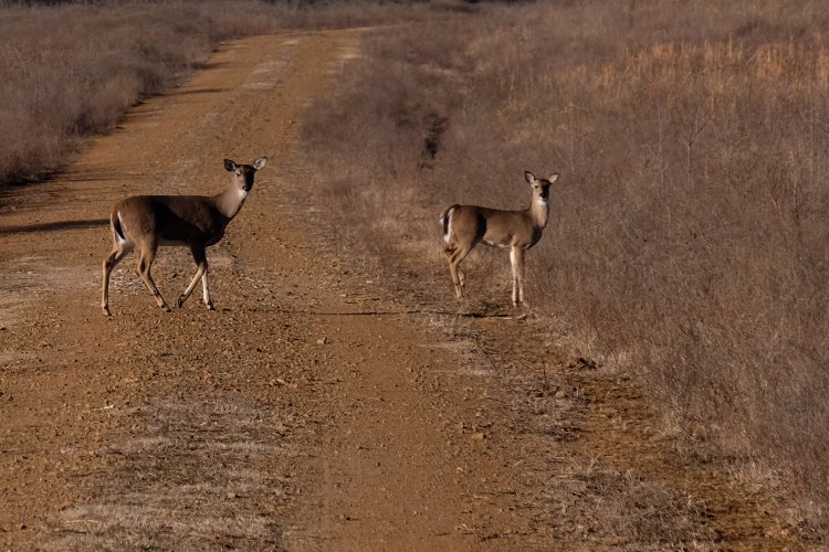
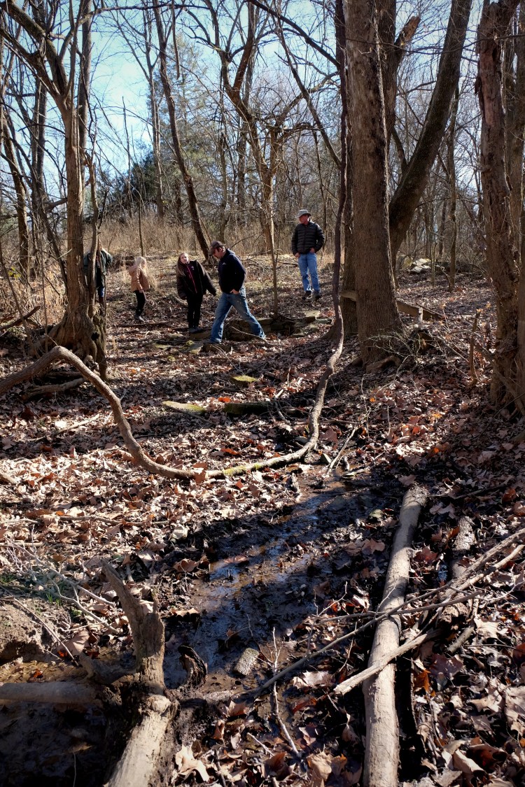
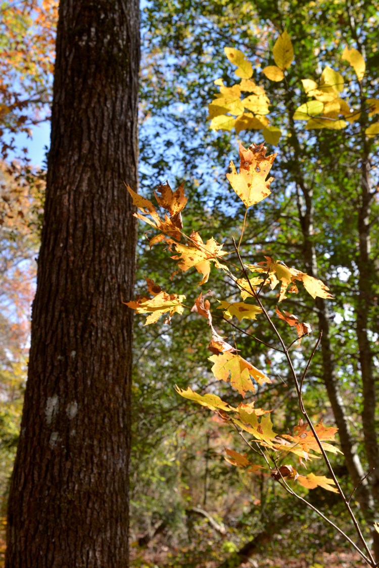
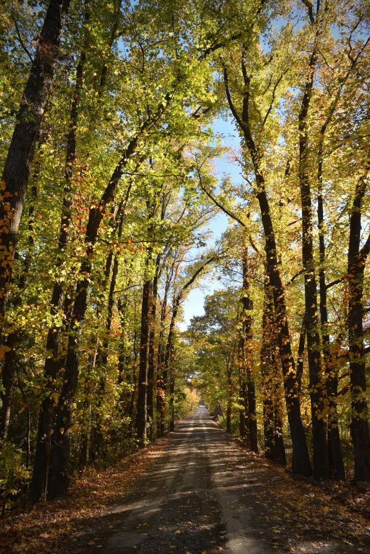
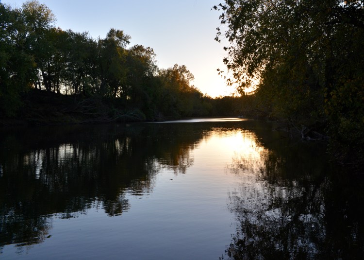
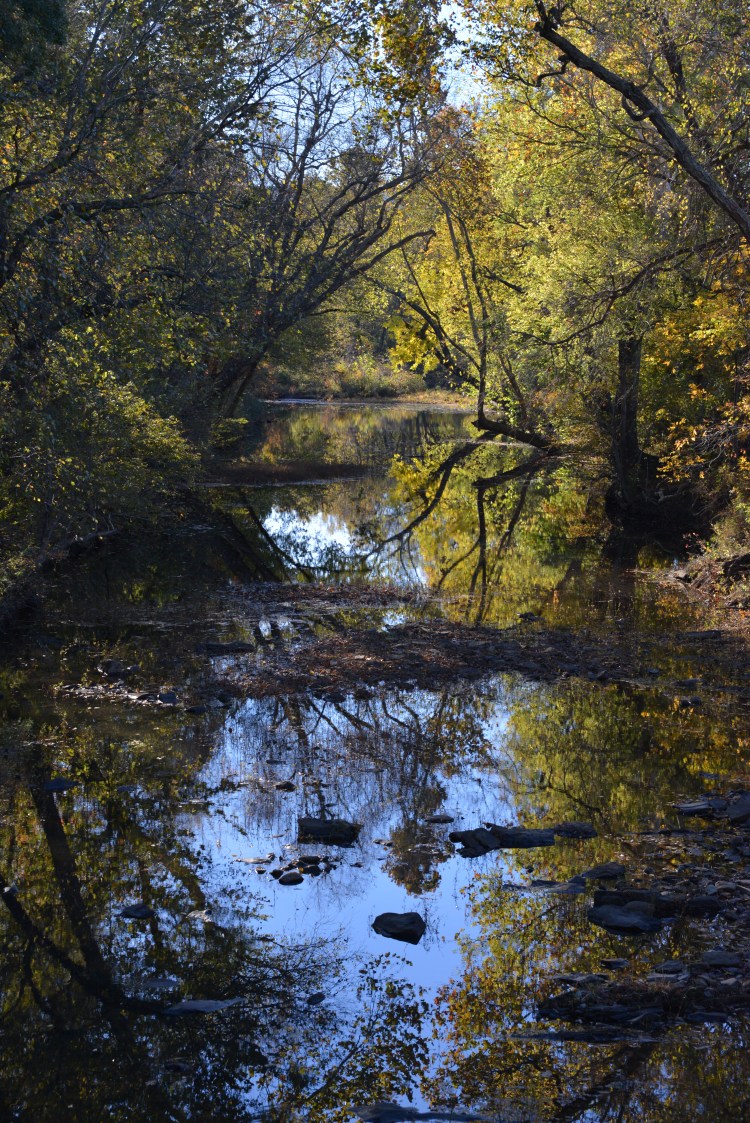
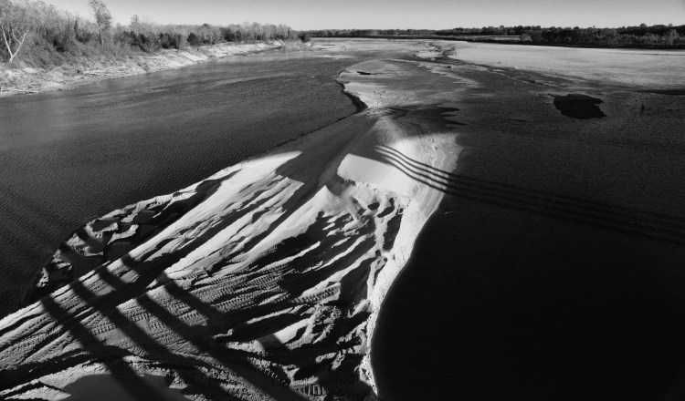
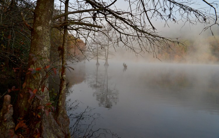
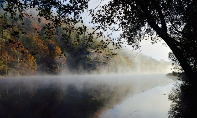
On a research trip to southeastern Oklahoma in late November, artist Debby Kaspari and I enjoyed beautiful weather and some stunning scenery.


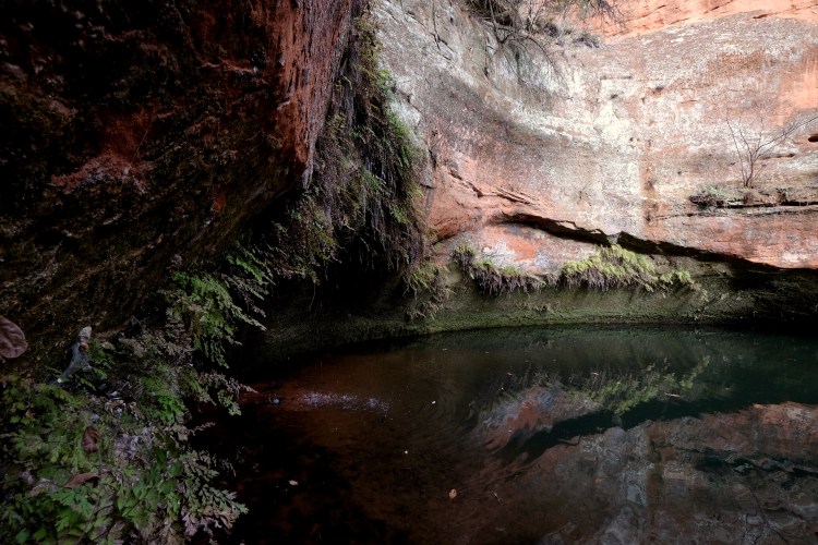
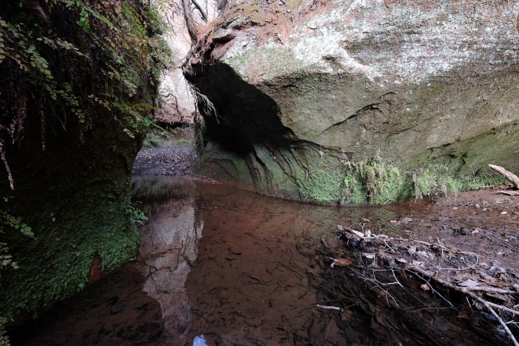
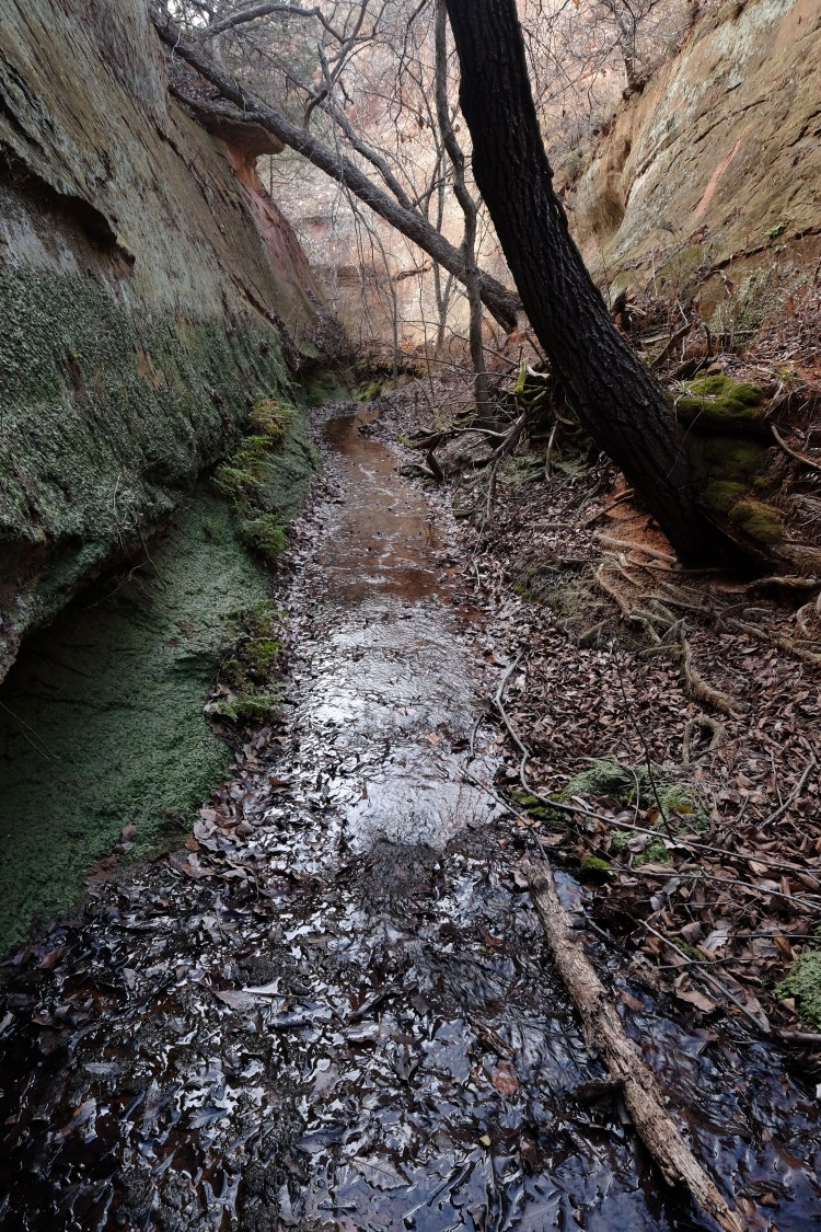
Yesterday, Bill and I went for a hike with Art Peters, curator of the Hinton Historical Museum, to visit a canyon west of Hinton that Art had previously not explored. Art has been compiling information on canyons in the area for a book he is about to publish and this was an opportunity for us to enjoy a fun day of canyon hiking and for me to enjoy some great photo ops. We called the unexplored canyon a “slot canyon” because of its narrow opening, although it probably wouldn’t really qualify as a slot. Nevertheless, it was an exhilarating day and we got to walk with Art to the source of this “new” canyon, where we dubbed the spring, “Art’s Spring.”