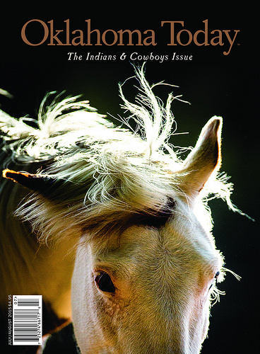
I’m pleased to have several publications out or pending right now, including Sequoyah Sunsets, an article on Sequoyah State Lodge in Oklahoma Today’s Indians and Cowboys Issue (July/August 2015); and Calculating Adventure, a story of serendipity in the American West in Issue 9 of OutdoorX4. In the coming months, look for The Lost Girls Ride Again in TrailGroove and a piece on Devil’s Eyebrow Natural Area in Arkansas Living. See articles and excerpts on my Publications page: https://susandragoo.com/adventure-publications/
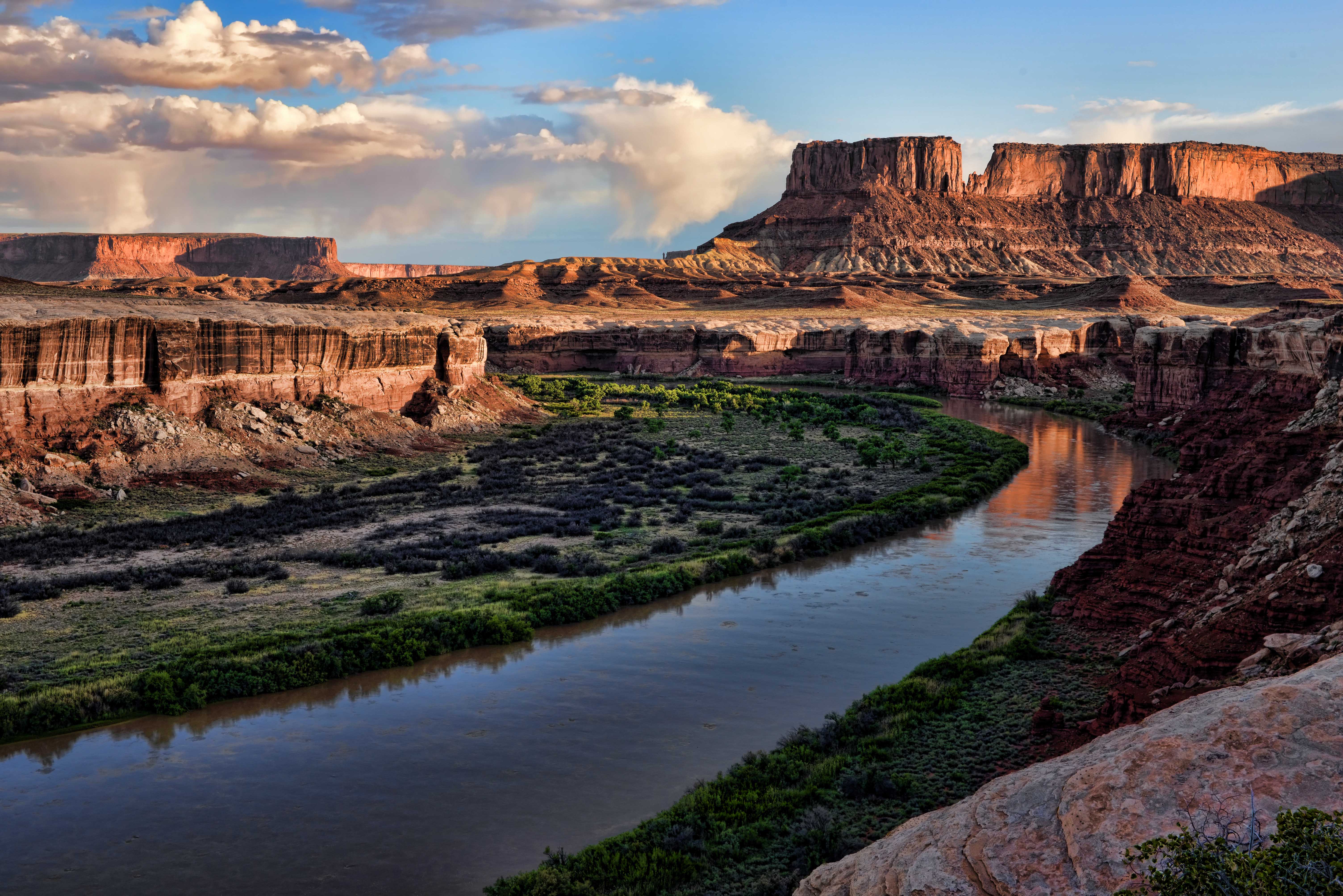
Grand in scale, a feast for the senses, a place of (at times) terrifying beauty, Canyonlands National Park (http://www.nps.gov/cany/) is one of Utah’s many natural wonders. It preserves nearly 350,000 acres of towering spires, deep canyons and powerful rivers in the high desert of southeast Utah. One of its highlights is the White Rim Road, a 100-mile loop through the Island in the Sky District. (http://www.nps.gov/cany/planyourvisit/whiterimroad.htm)
Parts of White Rim are challenging and it’s all spectacular, so we wanted Chris and Laura Moxley — in their Jeep Rubicon — to experience it with us. After stopping in Moab at Gearheads for supplies, we entered the national park via Gemini Bridges Road. We did the trail in a counter clockwise direction, starting with the switchbacks of Shafer Trail and the sight of the Colorado River running along our path to the east. Along the way, Laura conquered Murphy’s Hogback and Chris drove over Hardscrabble Hill, two of the most technical sections of the trail. We camped at Candlestick Campground, where we shared a large campsite with a view of the Green River very near the canyon rim with an interesting group from Toronto: Jackie, Dennis and Ray. Jackie joined us for a glass of wine after dinner, and Dennis strolled with Bill and I to the canyon rim for some sunrise photography the next morning. Before we left camp, we were paid a surprise visit by a couple of young park rangers, checking on permits. Wouldn’t want to run afoul of these fit fellows packing large sidearms and handcuffs! We finished the trail about noon and enjoyed a farewell lunch with Chris and Laura at the Moab Brewery before they headed back to Oklahoma. Thanks for joining us at Overland Expo and for the adventures beyond, Chris and Laura, we had a blast!
Next, Bill and I go on to tackle the Utah Backcountry Discovery Route north of Moab. Stay tuned!
The Moxleys and the Dragoos during a stop on the White Rim Road
Bill and Laura take a look over the precipice at Gemini BridgesSunrise, Candlestick CampgroundOur campsite at Candlestick CampgroundSunrise on the Green RiverChris and Laura about to finish the White Rim Road in their Jeep Rubicon
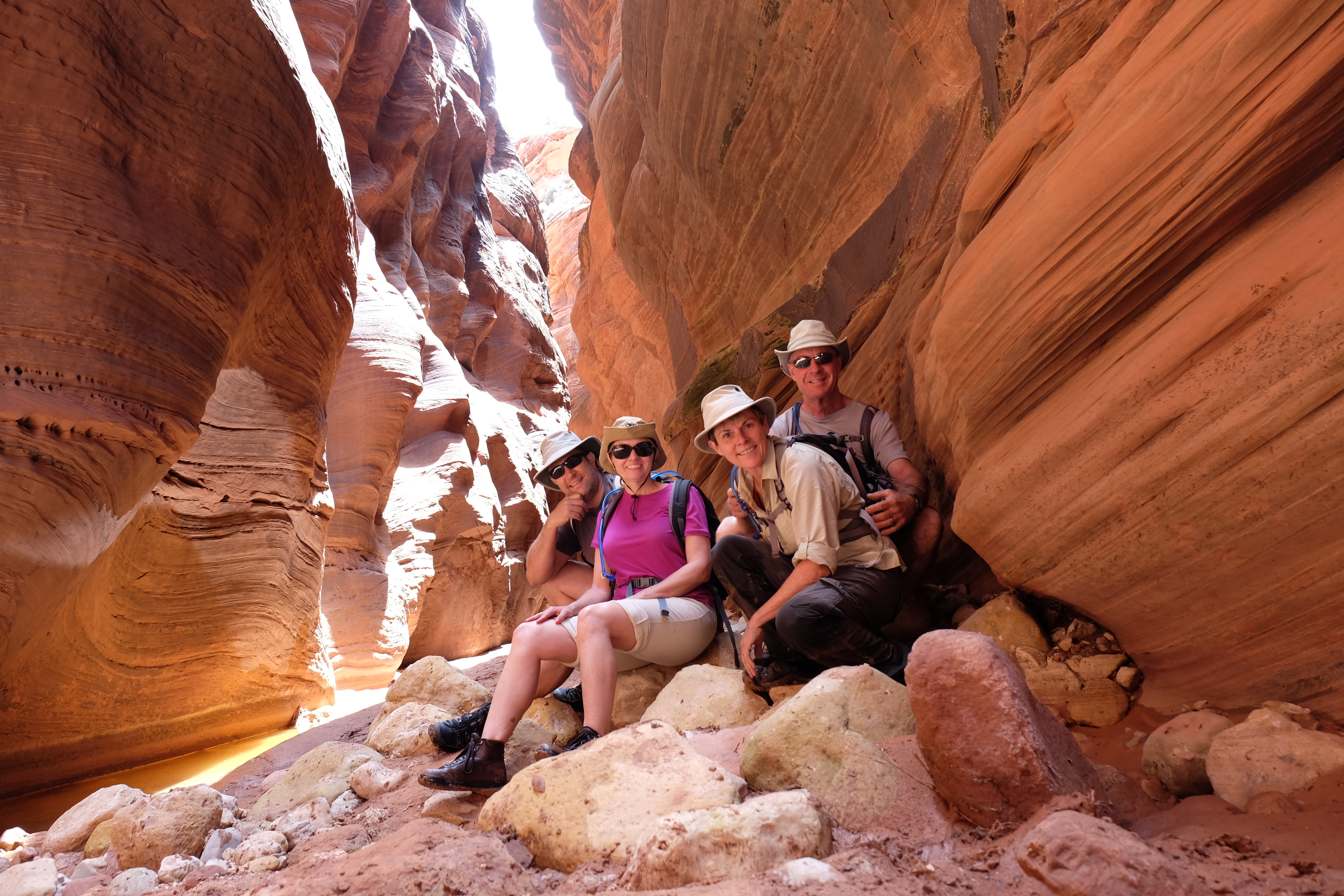
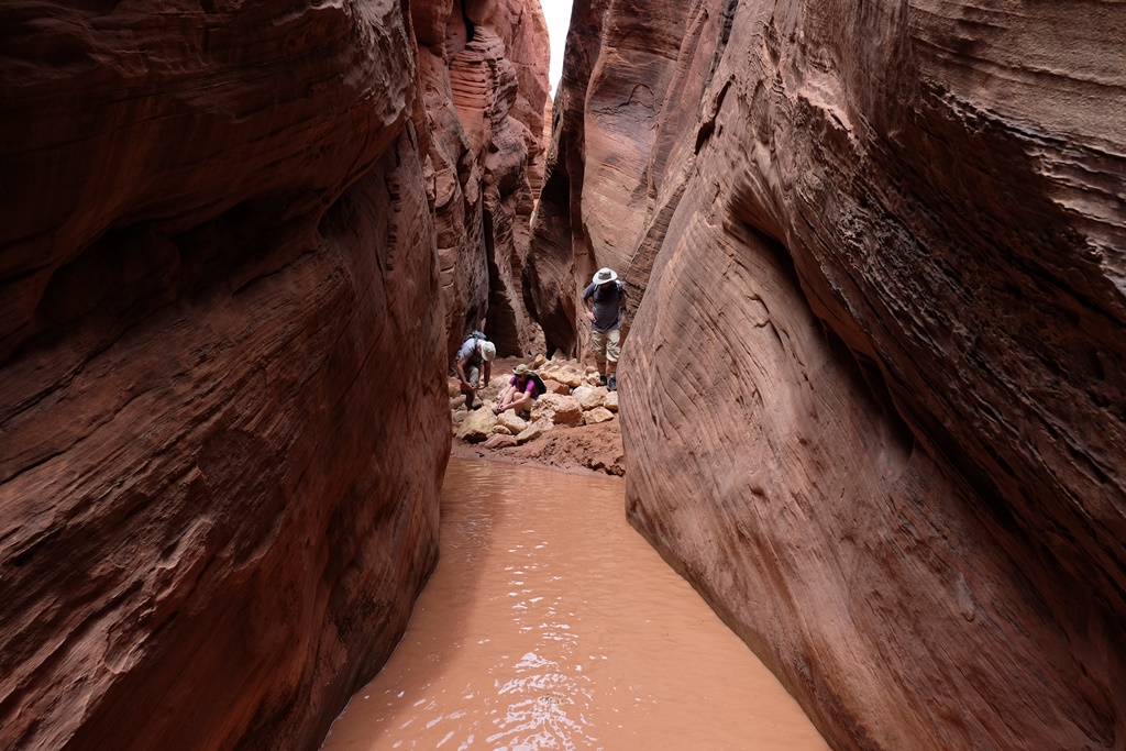
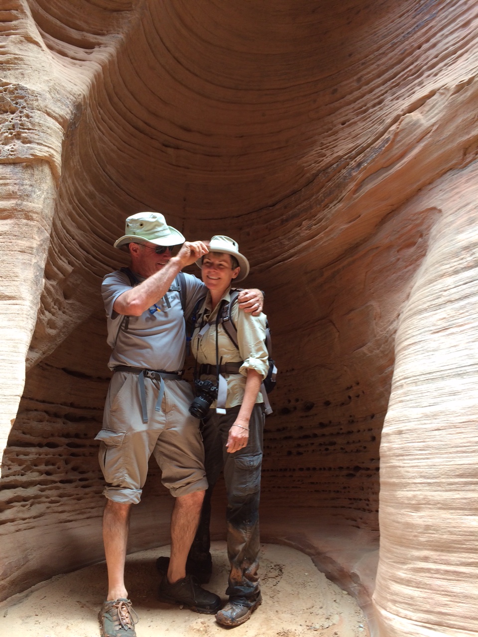
We take a break for a photo after stopping to eat lunch mid-way through our exploration of Buckskin Gulch.
A few years ago, Bill and I “discovered” (for ourselves, that is) Buckskin Gulch, the longest slot canyon in the southwest, or the world, or some such thing, depending on your source. It’s just north of the Arizona/Utah border in the Vermilion Cliffs National Monument (http://www.blm.gov/az/st/en/prog/blm_special_areas/natmon/vermilion.html) and is both spectacular and easy to access. Exploring the canyon thrilled me and I longed to return. In fact, OutdoorX4 Magazine will be publishing my story, “Calculating Adventure,” about our first visit there in an upcoming issue (OutdoorX4.com)
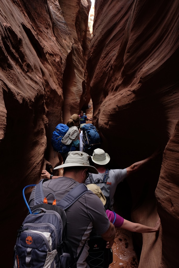
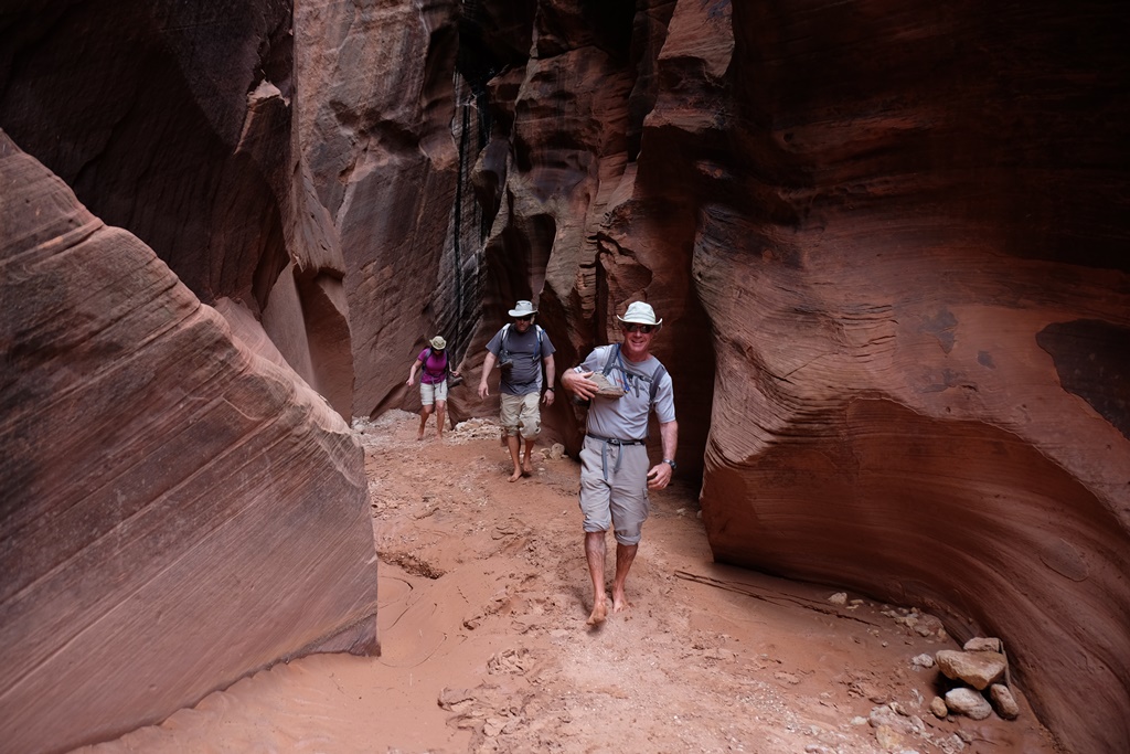
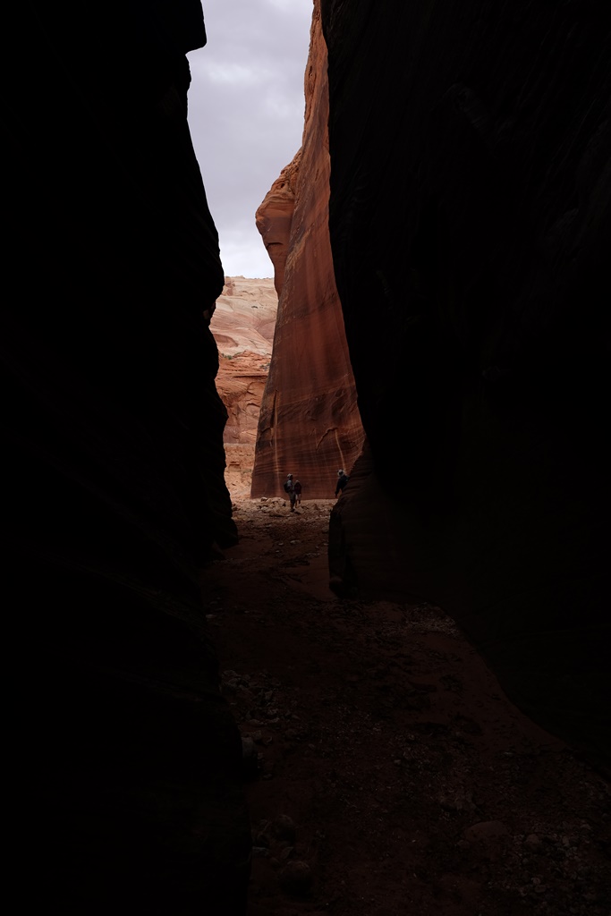
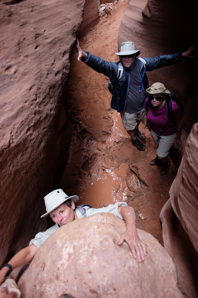
Traveling north last month from the Overland Expo in Flagstaff, Arizona with Bill, and our friends Chris and Laura Moxley, we had camped at Coyote Loco in the Kaibab National Forest and hiked in the Grand Canyon. The night before our Buckskin Gulch hike, we camped in Vermilion Cliffs, not far from the Wire Pass Trailhead for the Gulch. Our first surprise on the morning of the hike was the number of people in the canyon. I had remembered the 1.7 mile hike from the trailhead through Wire Pass Canyon to Buckskin Gulch as an easy walk with only a few scrambles over boulders. But things had changed a bit over the past couple of years and the floor of the canyon seemed lower and was much wetter. Hikers were struggling to get over the drops into the canyon and reluctant to get their feet wet. Several spots in the canyon became jammed with people, several of whom ultimately turned back. We forged ahead and eventually made it through Wire Pass and to the alcove near the confluence with Buckskin Gulch.
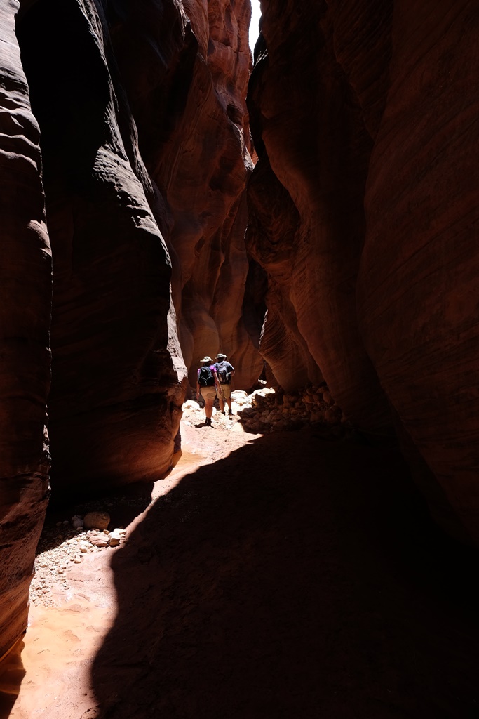
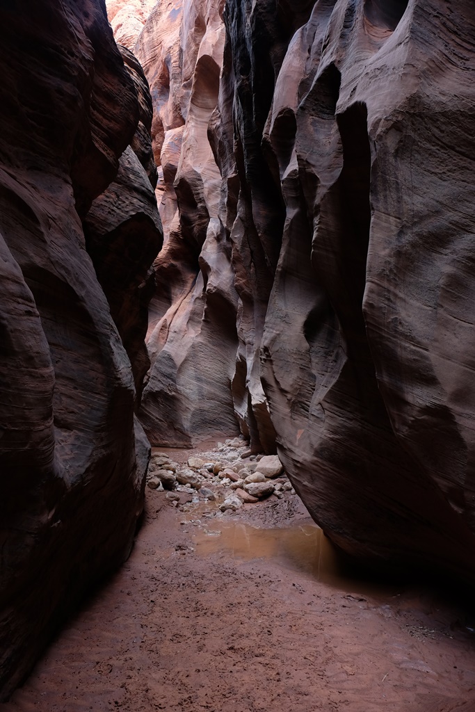
The rains had changed the Gulch as well, and we faced numerous deep, muddy puddles. Ultimately, the only thing to do was to wade in, boots and all, and so we did. It was slow going but fun. When we decided we had gone far enough (and thunder was beginning to rumble above us), we enjoyed a picnic lunch and turned back. It definitely wasn’t the same experience I had before at Buckskin Gulch — much more difficult — but I am so glad we were able to introduce our friends to one of my favorite places!
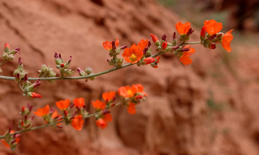
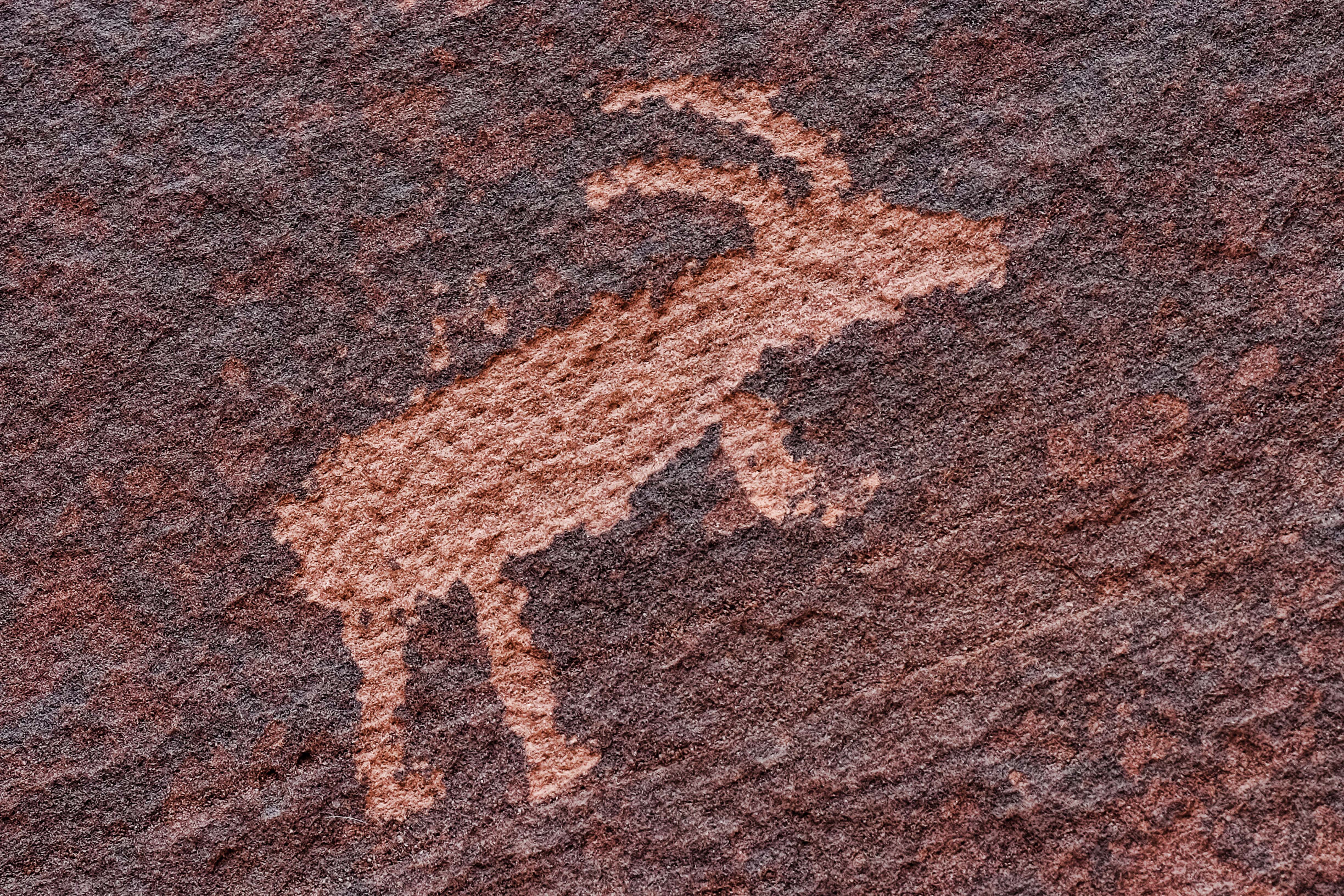
We were surprised to find a traffic jam in Wire Pass Canyon. There were a couple of drops that had deep water below and were difficult to negotiate. With a couple of groups trying to get into the canyon, it was a different situation than we encountered before.Ultimately we had to embrace having wet feet to continue into the canyon.Wildflowers blooming in Wire Pass CanyonOne of several petroglyphs at the confluence of Wire Pass and Buckskin GulchSorting out the footwear situation before attempting a deep water crossing. I had already gone through, boots and all.Crazy kids!More sillinessLaura stabilizing herself with the walls of the canyon while walking carefully through the cold, muddy water.Stunning canyon scenery
Getting out of the canyon was harder than it looked. I had to be hauled up over the rock I am grasping in this photo.Heading back to the trailhead through Coyote Wash
We left the Overland Expo the afternoon of Sunday, May 17 with Chris and Laura to drive north on the Arizona Backcountry Discovery Route, picking it up just east of Mormon Lake, where the expo was located. We had dry weather — a nice change — but made slow progress on the deeply rutted forest service roads. Camp that night was 11 1/2 miles south of Winona and was our best night of camping to date, thanks to the quiet, the drier, warmer weather, and being out in a more solitary spot and away from the crowded campground. Chris and Laura were camp cooks that night and as always they whipped up a delicious meal.
Chris and Laura enjoy a glass of wine while preparing dinner at our camp site south of Winona
The next day we spent considerable time in the Flagstaff area reprovisioning and preparing for the next leg of the journey. Bill even installed his new skid plate in a WalMart parking lot. From there we continued north on the AZBDR, through Sunset Crater National Monument, and into the southern reaches of the Kaibab National Forest, where we camped that night.
Our vehicles north of Winona, heading toward Sunset Crater National Monument
We had a gorgeous camp spot off the road and beneath tall pines which we named “Coyote Loco” for the coyote who paced back and forth in a semi-circle near our camp much of the evening and brought his buddies close to camp to howl at us during the night.
Grand Canyon from Grandview Trail
The next day we visited the Grand Canyon at Grandview Point, and enjoyed a nice hike below the rim on the Grandview Trail.
Chris and Laura on the Grandview Trail
After our hike we continued north into Vermilion Cliffs National Monument, where we camped — another nice camp spot. Along the way we crossed the Colorado River at Navajo Bridge, and stopped and had dinner at Cliff Dwellers Lodge on Highway 89A, one of our favorite spots.
Bill manages to clean up the supper dishes even in the rain and snow
The weather was a challenge at this year’s Overland Expo (overlandexpo.com), where we camped in rain, snow and lots of mud for the annual gathering of adventure travelers from May 15-17. In spite of the weather, we enjoyed catching up with friends and all of the sights and sounds. Chris and Laura Moxley from Norman joined us for the expo and we had a great time camping with them. After the event, the four of us continued north for more adventures. Details in the next installment!
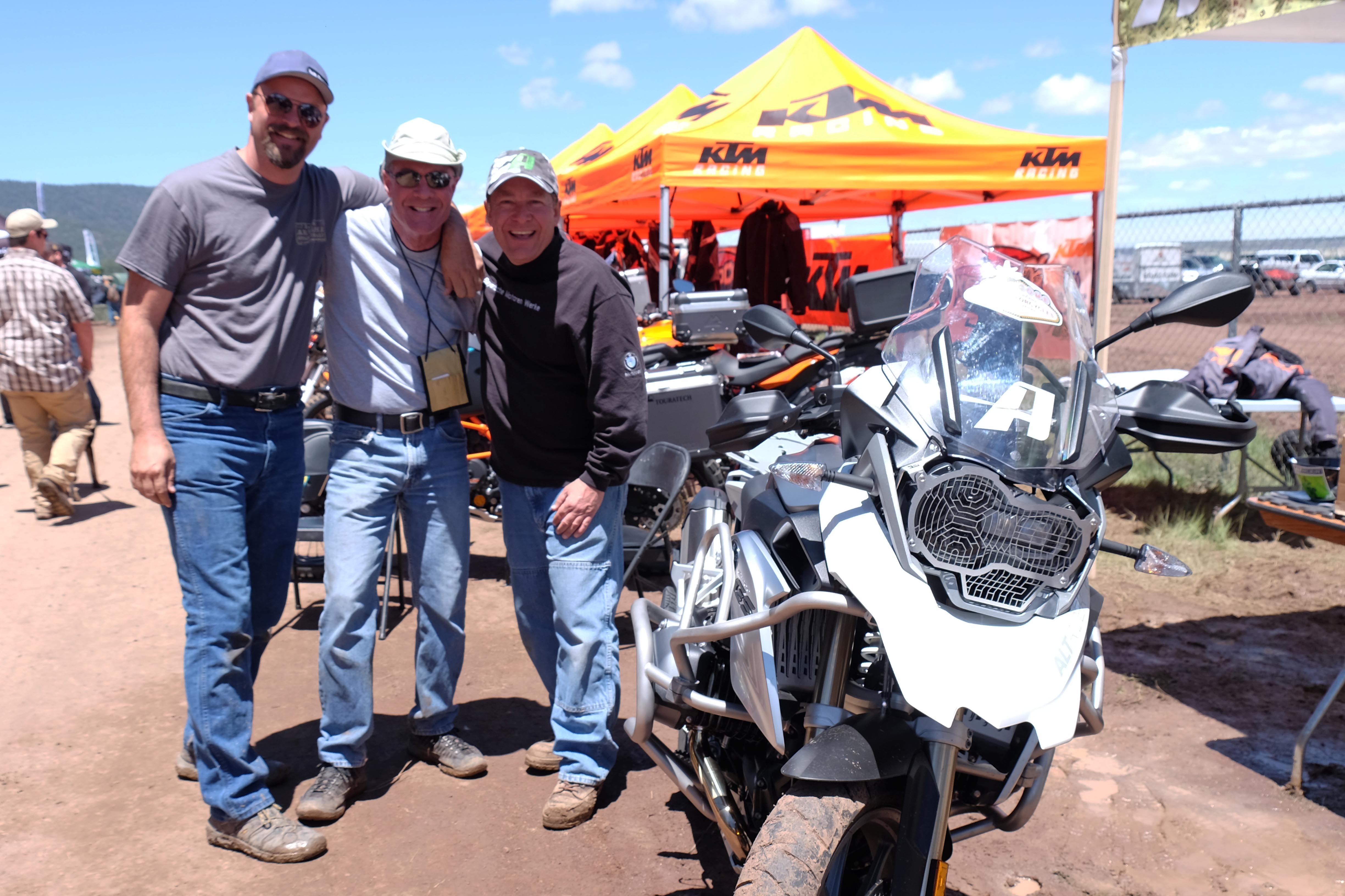
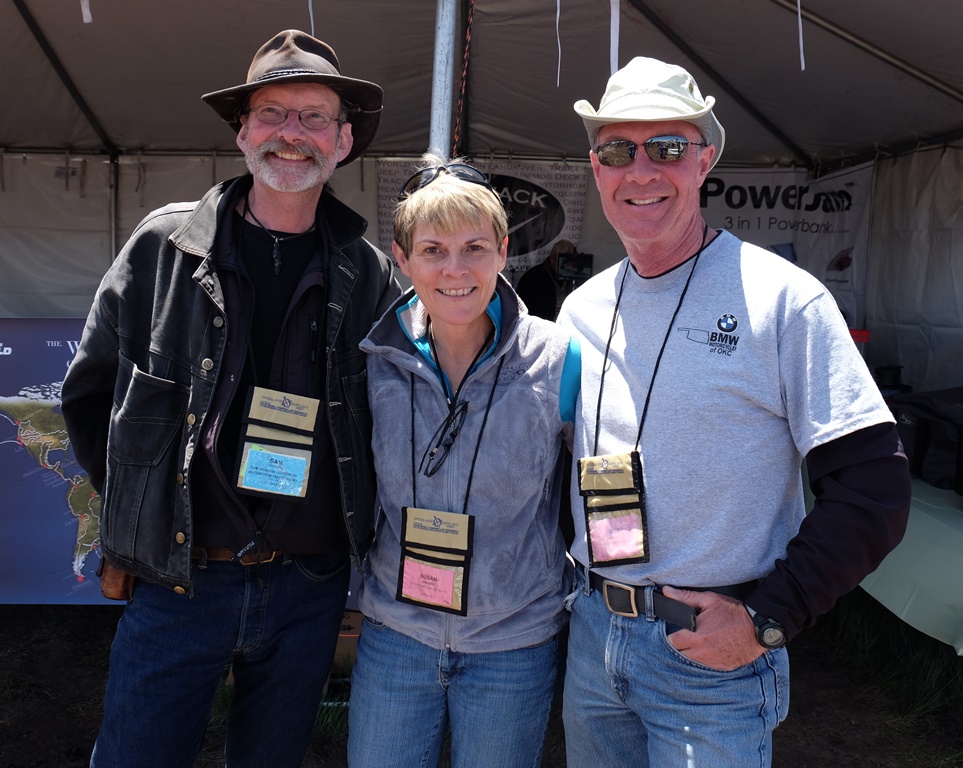
The puddle in front of Chris and Laura’s tent (along with the snow on its sides) is a good representation of the weather we experienced at the expo.Our friends Danell Lynn, of BlackTie2BlackTop fame, blacktie2blacktop.com , and Nick Calderone, star of the Right This Minute television program, rightthisminute.com.Bill with Frank Ledwell, publisher of OutdoorX4 magazine, outdoorx4.com.Our next door neighbor in camp at the expo was filmmaker Sterling Noren, whose latest work is the award documentary, “Run Free,” runfreemovie.com.When the sun came out, I went for a spin on Nicole Espinosa’s Ural with Kris Green and Ginamarie Austin.It’s always a pleasure to see Shawn Thomas and Kurt Asplindh!It was a kick to meet Sam Manicom, one of my favorite adventure travel authors! http://www.sam-manicom.com/
Lavender roses and white bougainvillea from Maya’s garden
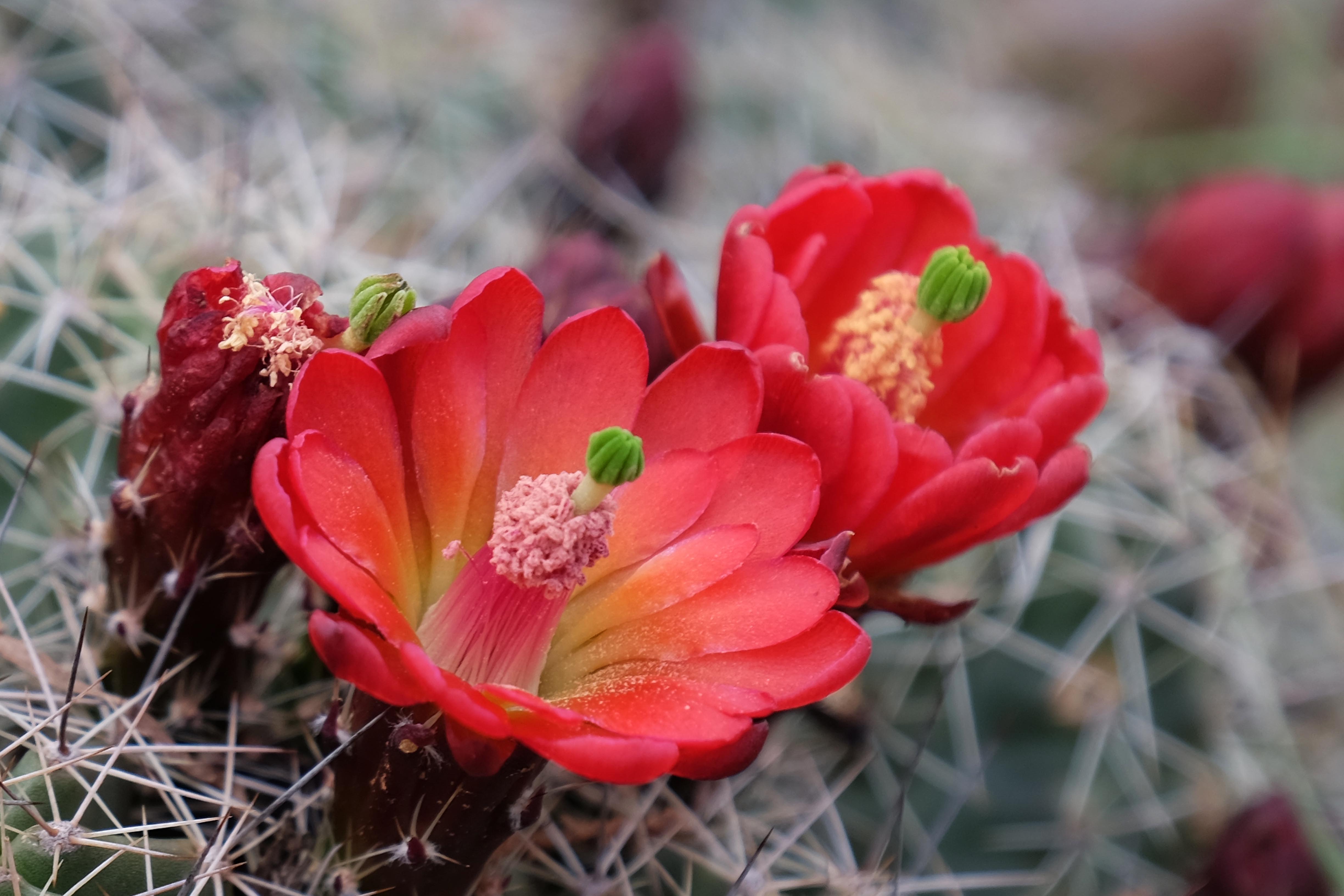
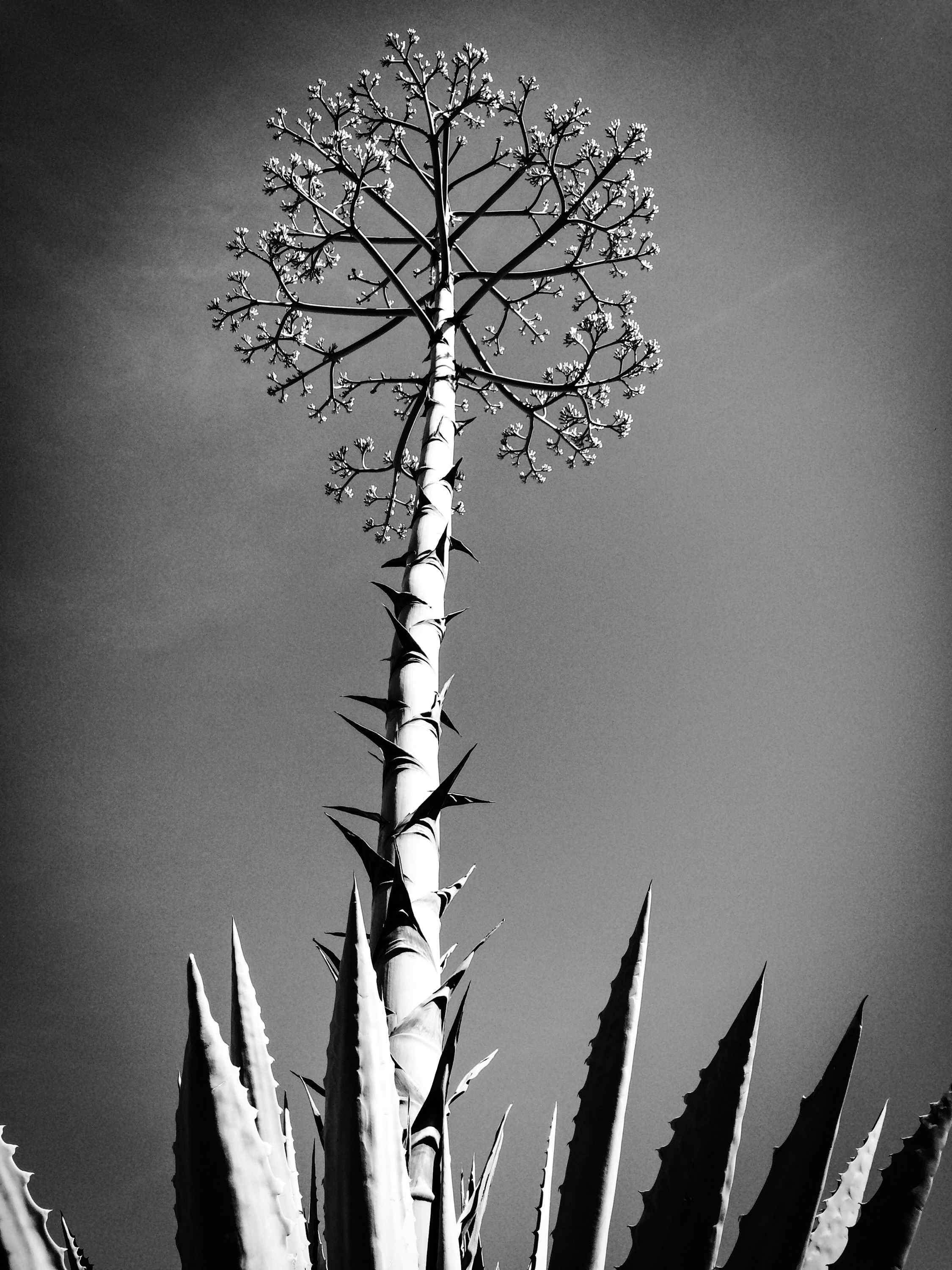
Traveling from Tucson towards Flagstaff for the Overland Expo, we stopped for a visit with Bill’s old friend John Ragozzino, who lives in Fountain Hills, a suburb of Phoenix. John and his lovely girlfriend, Maya Civadelic, were incredibly gracious hosts. They fed us well, and we ate and drank way too much. Maya’s green thumb has created a desert paradise of their home, which is surrounded by gardens — fruit trees, grapevines, flowering vines and shrubs, vegetables. And, of course, cactus:
“It’s all just rocks and dirt,” some say about travel. I feel that way sometimes too when I am road- or trail-weary. It all begins to look the same, and I question why I am so far from home. But it’s a feeling I eventually pass through, a kind of homesickness that is not surprising, and my awareness of the natural beauty around me — and the infinite variety God has created — returns. The trip we just completed contained elements of beauty, adventure, danger and fatigue. Remembering those experiences through photos and words — a day or two at a time — is my goal here.
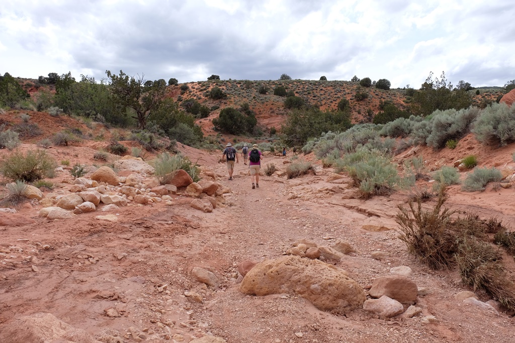
It was three weeks ago today we left Norman, heading west May 11 in “The GS of Trucks,” our Toyota Tacoma, for a big adventure. We would visit friends in Tucson and Phoenix, Arizona, then meet up with more friends at the Overland Expo in Flagstaff. After a few days there we would “overland” through northern Arizona and into southern Utah with Chris and Laura Moxley, who were driving their new Jeep Rubicon. They would have to return home before we would, so we planned to finish our trip by completing the Utah Backcountry Discovery Route, ending at the Idaho border near Garden City, Utah. As it turned out, we would have no shortage of adventure.
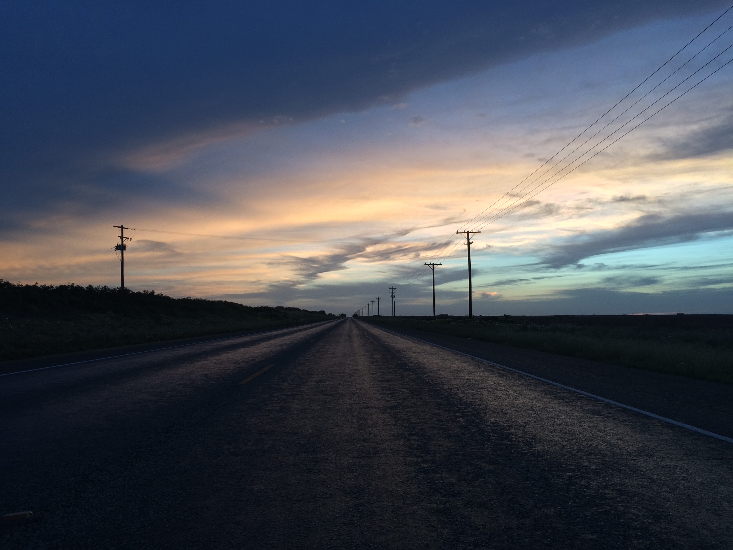
It’s a long, long way across west Texas.
Bill and I left Norman about two in the afternoon and finally reached the New Mexico border at nearly 10. We stopped for the night at a Motel 6 in Hobbs, paying a $60 rate, typical of the fairly low lodging costs we would experience on the few days we “moteled it” on this trip.
Sunset, west Texas
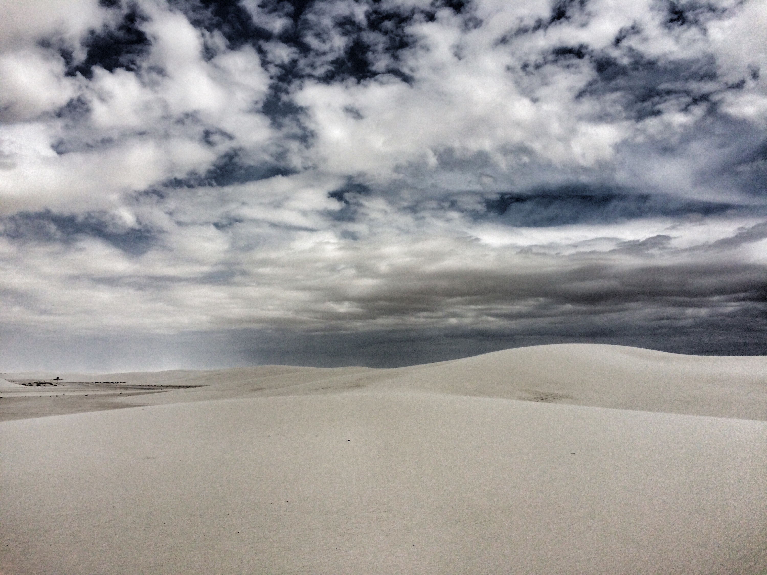
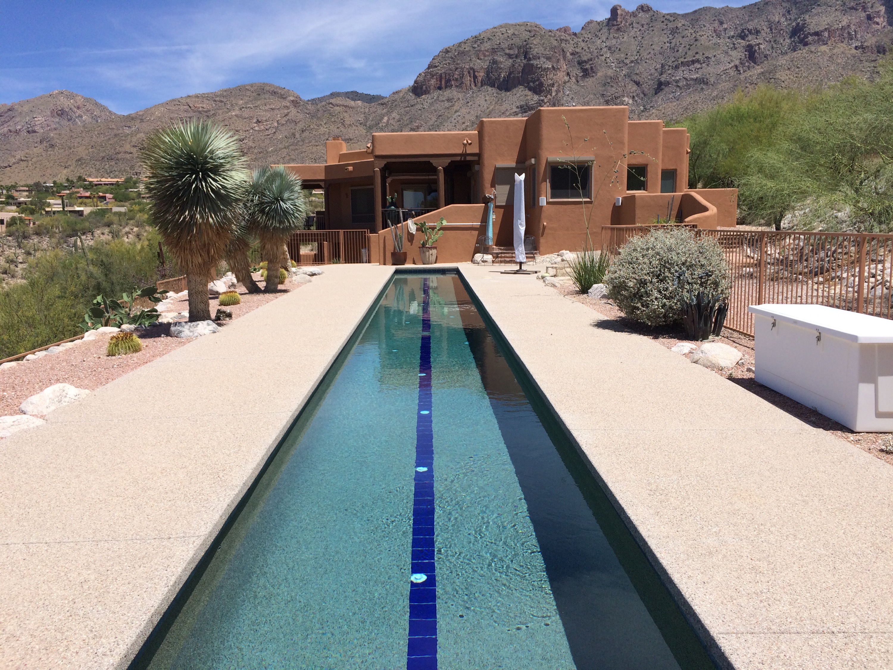
We stopped the next day for a glimpse of White Sands National Monument, then arrived in Tucson that night for dinner and an overnight stay at the lovely home of our friends Mike and Edna Carson.
One of the images from my rainy day photo expedition with Mark. We headed out on foot without rain gear and had to take cover on a neighbor’s porch when it began to rain with vigor. Big surprise! Bill came to the rescue and picked us up so we took advantage of the rain to photographs items around the house. These are some of the roses in my front garden.
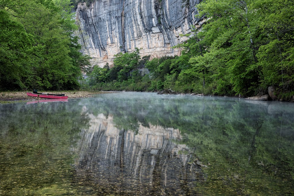
We call the Ozarks “mountains,” and so they seem. But the area – covering northwest and north central Arkansas and much of southern Missouri — is really a high plateau deeply cut by rivers and creeks. This world of hollows and knobs is traversed on twisting roads and trails edged by sheer drops and breathtaking beauty. In late spring, the deep green of the dense forest colors even the air. Clear streams run out of fern-lined crevices and over bluffs, drawing the hiker with their burbling. It was this place we chose to spend our 10th Anniversary, and a good decision it was.
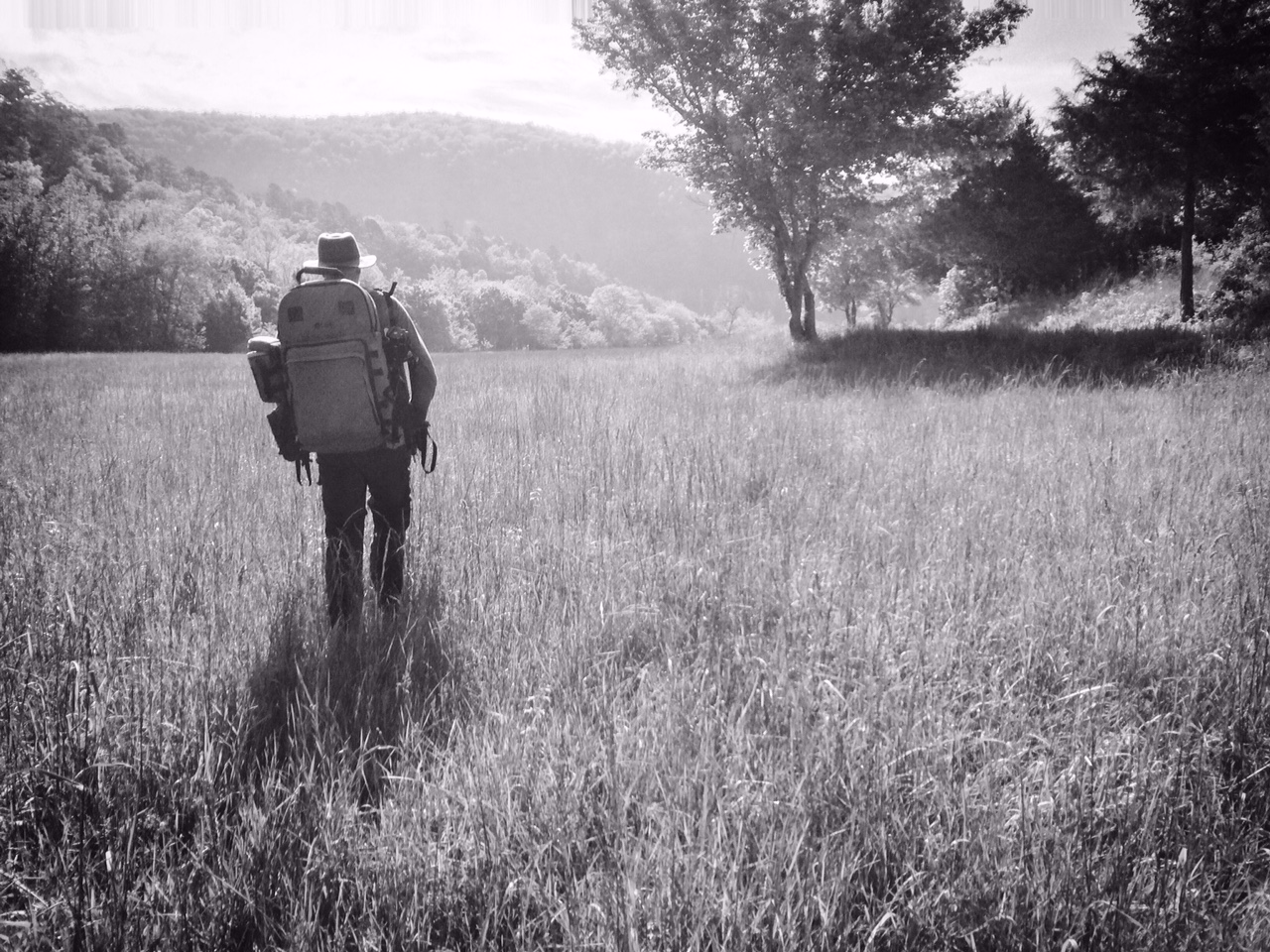
Tim Ernst leads our group of students across a meadow at Steel Creek Campground
Part of our rationale was the opportunity to attend a photography workshop with Tim Ernst (www.timernst.com), hiking legend, author, and renowned nature photographer. The workshop would take place on May 2 near the Buffalo National River. I found a cabin close by and booked it for a few extra days so we could make a longer getaway of the trip. Cove Creek Cabin (http://www.buffaloriverchamber.com/cove_creek_cabin.html) is located near Compton in an isolated spot on the edge of the national park.
We stopped at the “Morgan Lodge” near Garfield, Arkansas for a night’s stay on our drive over and enjoyed the wonderful hospitality. I got up early the next morning and shot photos of the columbines on the bluff.
Columbine on the bluff at the “Morgan Lodge”
Thursday, April 30, 2015
It was an easy drive east to the Upper Buffalo area. We traveled through Eureka Springs and stopped in Berryville for lunch at the Ozark Café. It is located on the town square and had the appearance of one of those iconic small town restaurants with the best food around. It lived up to its appearance. The dark but cozy interior was filled with locals, the food was good and the service was friendly. The best part was the homemade peanut butter fried pie with ice cream. Peanut butter fried pie? Yes. It was amazing.
We arrived at Cove Creek Cabin (several miles off the highway on a dirt road) mid-day and relaxed for a while. I even took a nap on the breezy back porch running the length of the house and read a little in Tortillas and Totems by Sam Manicom (www.sam-manicom.com). Later in the afternoon we decided to get out for a hike. From Tim Ernst’s Arkansas Hiking Trails guidebook we knew that the trailhead for Hideout Hollow was less than a mile from our cabin, so that seemed like a good choice for a hike late in the day.
Falls at the head of Hideout Hollow
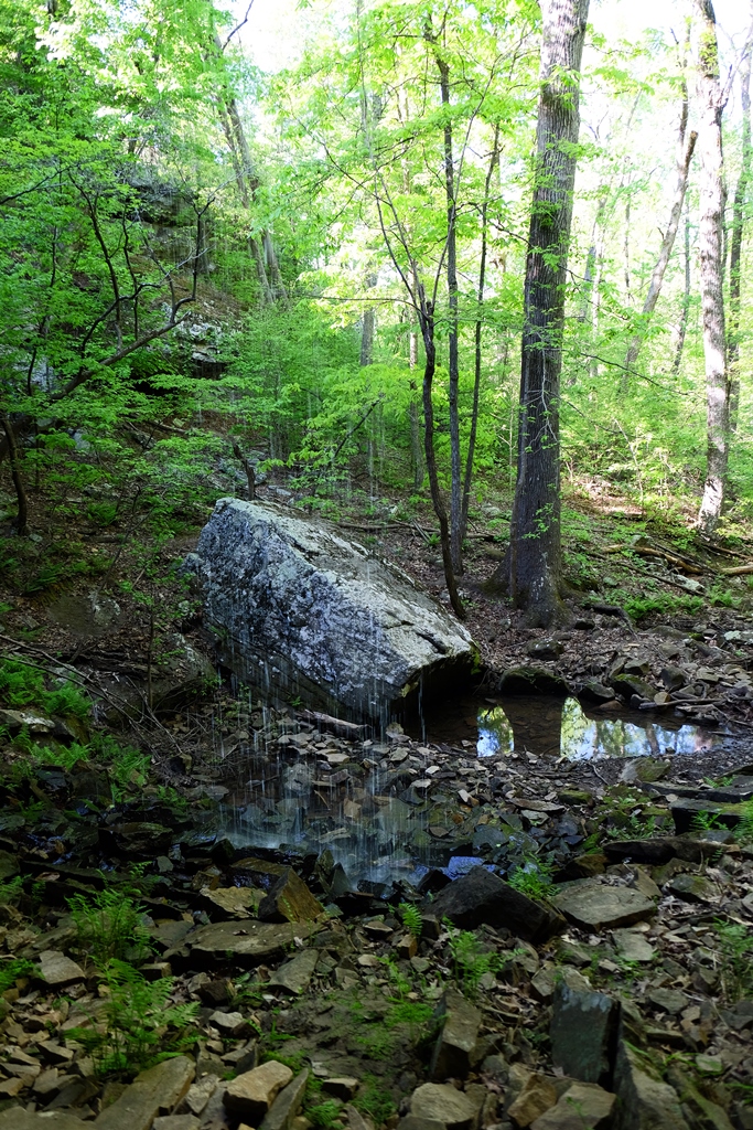
The Hideout Hollow trail is a round trip of two miles but we managed to make a little over 2 ½ miles of it. This trail is not well known and we saw no other hikers as we walked along the rocky hillside into the hollow. At .8 miles we came out on top of a tall bluff with great views of the valley.
Overlook on Hideout Hollow Trail
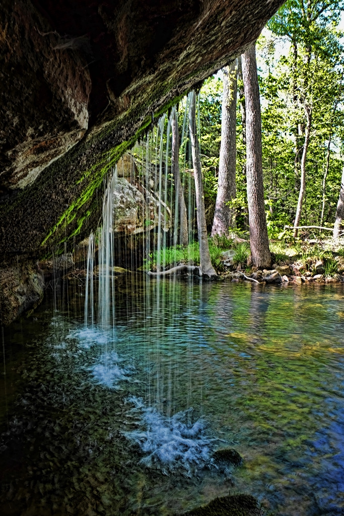
Eventually we reached the head of the creek and found a lovely waterfall. The flow of water wasn’t heavy, but enough to make it a pretty sight.
Bill surveys the hollow
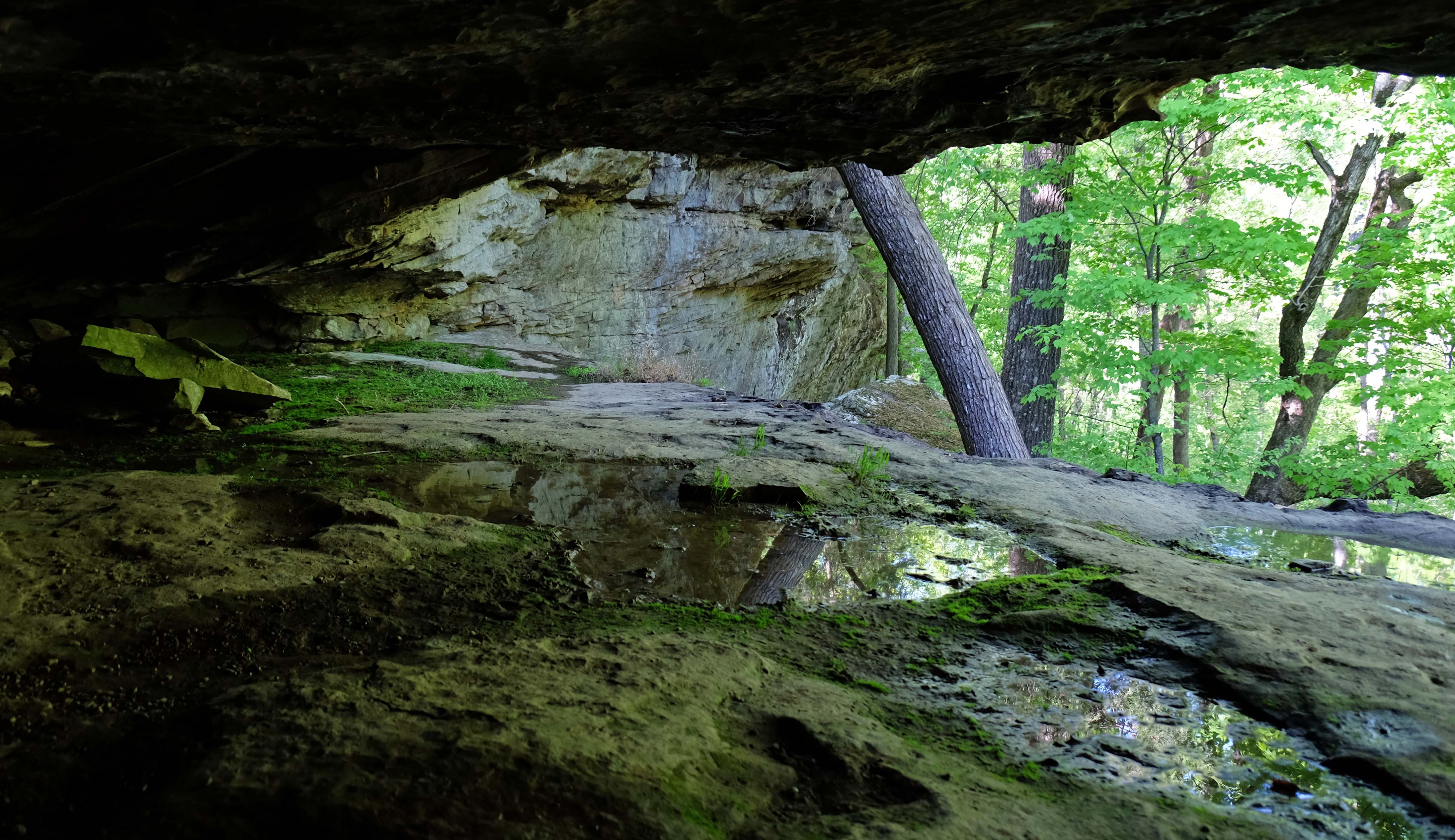
Exploring downstream a bit, Bill spied a spot where we could scramble over the ledge and into the depths of the hollow. Descending into this dark space lush with greenery, we felt the true magic of this trail. We were beneath a high bluff with a constant trickle of water coming down and pooling below, the pools reflecting the huge trees rising from the forest floor – perhaps old-growth specimens. We also found some rockworks, the remnant of earlier white settlers.
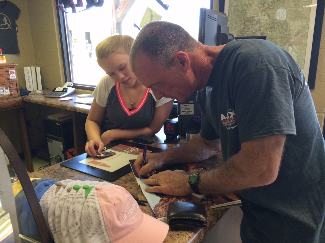
After our hike we drove back in to Compton to grab a bite to eat at JB Trading Company (www.jbtradingco.com). We were too late for anything from the grill but they had great sandwiches which they made up fresh for us. As I waited for our sandwiches I browsed the shelves of outdoor gear and came across a couple of recent issues of Overland Journal (www.overlandjournal.com). Lo and behold, there was the one with Bill’s “Beemers and Black Diamonds” story in it. Bill showed it to the girl at the counter and autographed it. You never know where you will find an Overland Journal!
Bill autographs “Beemers and Black Diamonds”Overland Journal is everywhere!
It is a five-mile round trip from the trailhead to the Hemmed-In Hollow falls. Depending on your source, this falls is 177 feet, 210 feet, or 250 feet high, making it the highest waterfall between the Rockies and the Appalachians.
The falls at Hemmed-In Hollow
The hike in was a steep downhill, making the hike out a difficult climb. Take lots of water on this trail, especially if you are doing it on a warm day. If you are not in good shape, don’t attempt it, the climb out is too strenuous.
Bill hiking down the steep Hemmed-In Hollow TrailA very appropriate message carved into one of the large beech trees on the Hemmed-In Hollow trail
The views were spectacular as we descended into the hollow, with several good camping spots at scenic vistas. We reached the falls after a fairly brisk walk down the hillside and then climbed up on the sandstone walls of the hollow and crossed behind the falls to the other side.
This place looks more like Utah than Arkansas! While we were there, numerous visitors walked up from the river. After we explored the falls area we walked to the river and ate a sandwich, watching the canoers and kayakers go by, many of them stopping for the hike up to the falls.
Bill exploring the cliffs beneath Hemmed-In Hollow falls
After the hike, which ended up being nearly seven miles with the river trail extension, we headed over the twisty roads to Ponca and the nearby Steel Creek Campground to scope out the location for the next morning’s photo workshop. We went on from there to Jasper and drove south on scenic Highway 7 to the Cliff House (www.cliffhouseinnar.com). We had a lovely anniversary dinner with a beautiful view of the Buffalo River Valley aka “Arkansas Grand Canyon.”
On the veranda at the Cliff House, overlooking the “Grand Canyon of Arkansas”
The next morning we were to meet at 6 a.m. for the workshop and it was about a 30-minute drive, so we made an early night of it.
Saturday, May 2, 2015
Tim Ernst coaches Bill and Amanda Winn along Steel Creek
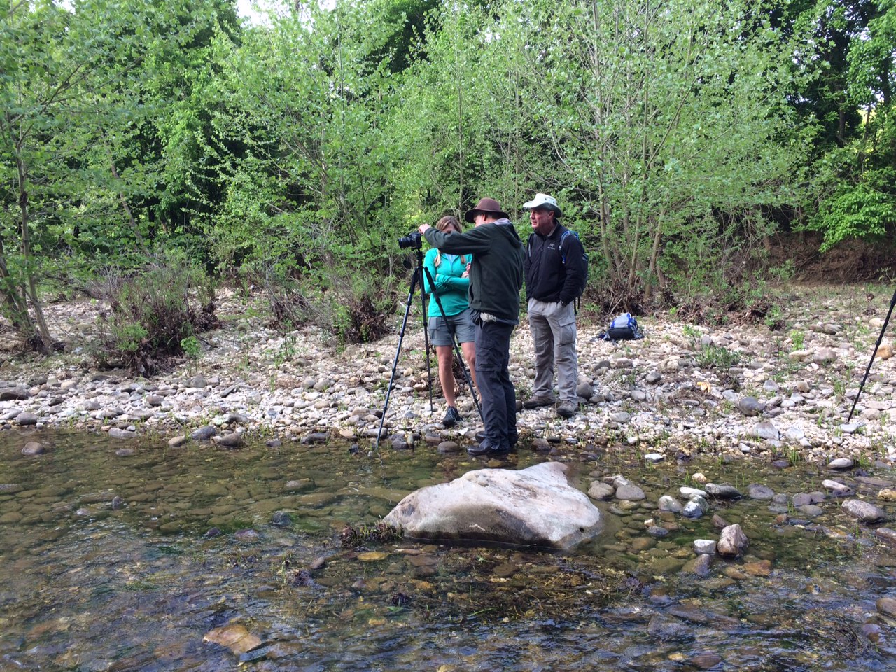
Bill and I arrived a little before 6 a.m. to the designated meeting spot (http://www.nps.gov/buff/planyourvisit/upload/Steel-Creek-Campground.pdf) and there was Tim Ernst, a tall, lanky bearded fellow in a hat, talking with two other men. I consider Tim a legend – author of THE guidebooks for the Ouachita Trail and the Ozark Highlands Trail and founder of the Ozark Highlands Trail Association. He has had a huge influence on the outdoor community, and his photography is exceptional. The opportunity to meet him and learn from him was a thrill for me.
Tim was easygoing and helpful. As we got to know the other students, we realized we had connections with two of them. Ron Harris is the brother-in-law of friends of ours from Norman – Bruce and Marilyn Naylor – and Amanda Winn went to high school with my son Mark and his wife Jessica. There were six students in all, so for such a small group that’s a lot of connections. Once we were all there and our cameras set up properly, Tim led us to the creek and we waded in and started shooting. He coached each of us through the shoot and after several hours when we all felt that we had something worth printing, we loaded back in our cars and caravanned to Tim’s Cloudland Gallery on Cave Mountain, south of Boxley. After some orientation, we walked over to Tim’s mountaintop cabin where his gracious wife Pam served us a barbeque lunch. We ate on the porch, visited, and admired the view out over the Buffalo River Valley.
After lunch, we spent the rest of the afternoon reviewing, selecting, and watching Tim edit our photos. Each of us was able to take home a print of one of the photos we shot. Here’s mine:
Dawn on the Buffalo
Bill and I got Pam to take a photo of us with Tim and then we were on our way. The nearest restaurant was the Low Gap Café and we stopped there for a meal. It’s an unusual place, to say the least. Not what you expect to find in that part of Arkansas but considering it’s near a major put-in for canoers and kayakers on the Buffalo, its resort community vibe makes sense. Great food! Here’s an article on it that provides more information: http://www.aecc.com/sites/aecc.com/files/ALJuly2012_letseat.pdf
Susan and Bill with Tim Ernst at the end of our workshop day
The trailhead is near Boxley and there were a few cars there when we arrived. By the time we left, the parking lot was nearly full. This is an easy and obviously very popular trail of about 2.3 miles round trip. The highlight is Eden Falls and the cave above it.
Eden Falls
Our fellow photography student Amanda Winn and her family were there and we enjoyed meeting her husband and sons. We visited the cave (I had brought my headlamp), squeezing all the way back – 50 yards, perhaps – to a 35-foot waterfall at the cavern’s end.
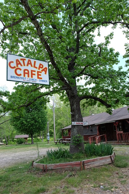
Catalpa Cafe
Winding our way home on back roads, we stopped for a late lunch at the Catalpa Café – literally the end of the road east of Oark, on Highway 215. (https://www.facebook.com/CatalpaCafe?fref=ts) Turns out the new owner of the café’ is a Californian with Arkansas roots who bought the business two years ago. The food was far different from what we expected (in a good way) and is worth a side trip.
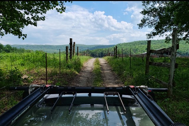
Embarking on Low Bridge Road as we head home
Eventually we ran out of dirt roads and launched onto I-40 for the long, straight trip home.